Traveling Light in Tenerife
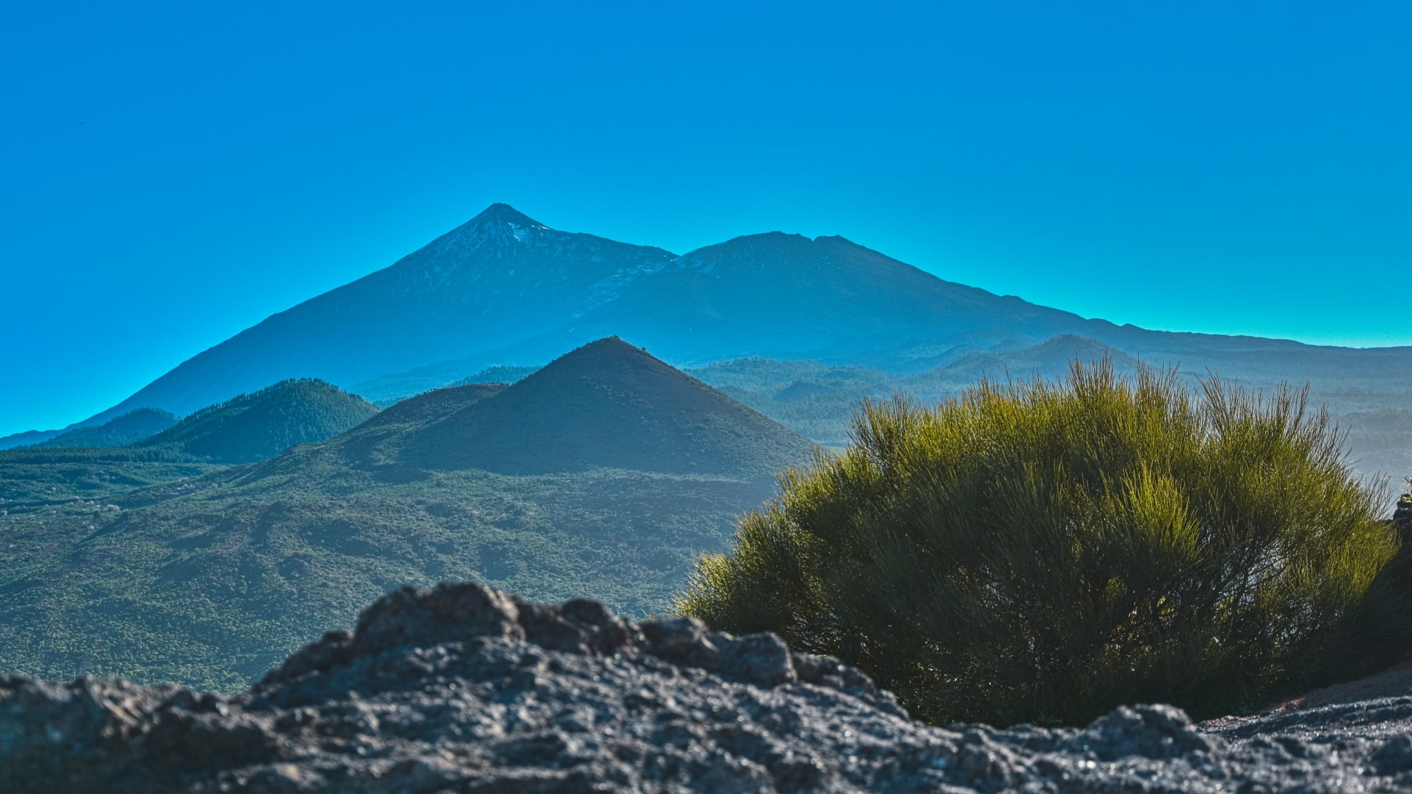
Do you love vacation destinations with warmer climates and a great variety of nature? I do, and this is my story of how I backpacked through the Canary Islands and explored the largest island, Tenerife.
Although Tenerife is relatively small in area, due to its location, high mountains, and trade winds, the island has several different climates. You can travel through five different ecosystems in a few days.
Packing light
How can you travel with 10kg or less? If you don’t plan on crossing the entire island on the GR131 trail, it’s doable. Wear your camera over your shoulder like a handbag so it doesn’t count towards your carry-on luggage weight. If you plan to sleep outdoors, be prepared for night temperatures to be significantly lower than daytime temps, especially around the highest peak El Teide, where it can even snow.
I was dressed for -15°C for my trip. I left my sleeping bag at home because it wouldn’t fit in my backpack. I packed an inflatable sleeping mat and a bivy sack (bivouac) which I could hide in and be at least partially protected from the ever-present dust and wind.

Due to the very dry and windy climate, especially in the southern part of the island, it is very important to stay hydrated.
Don’t forget to bring one large foldable water bottle or multiple smaller ones. Ideally, have at least 4 liters of water for the day and 1 liter for the night. Drinking water is mainly available as bottled water in the shops.
You can reach the island by air. But be prepared for strong winds and light turbulence upon landing.
Due to the large amount of flying sand and dust, it’s not a good idea to frequently change lenses because you can easily contaminate the camera sensor. Another option is to use a longer zoom. For example, 18-140mm for small sensors and 24-200mm for full-frame sensors.
A UV protective filter or a neoprene camera cover comes in handy in these climates.
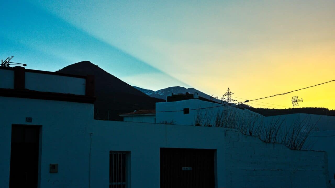
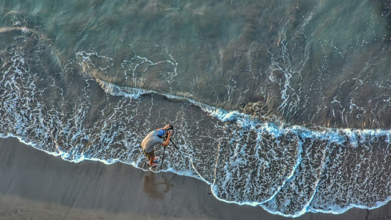
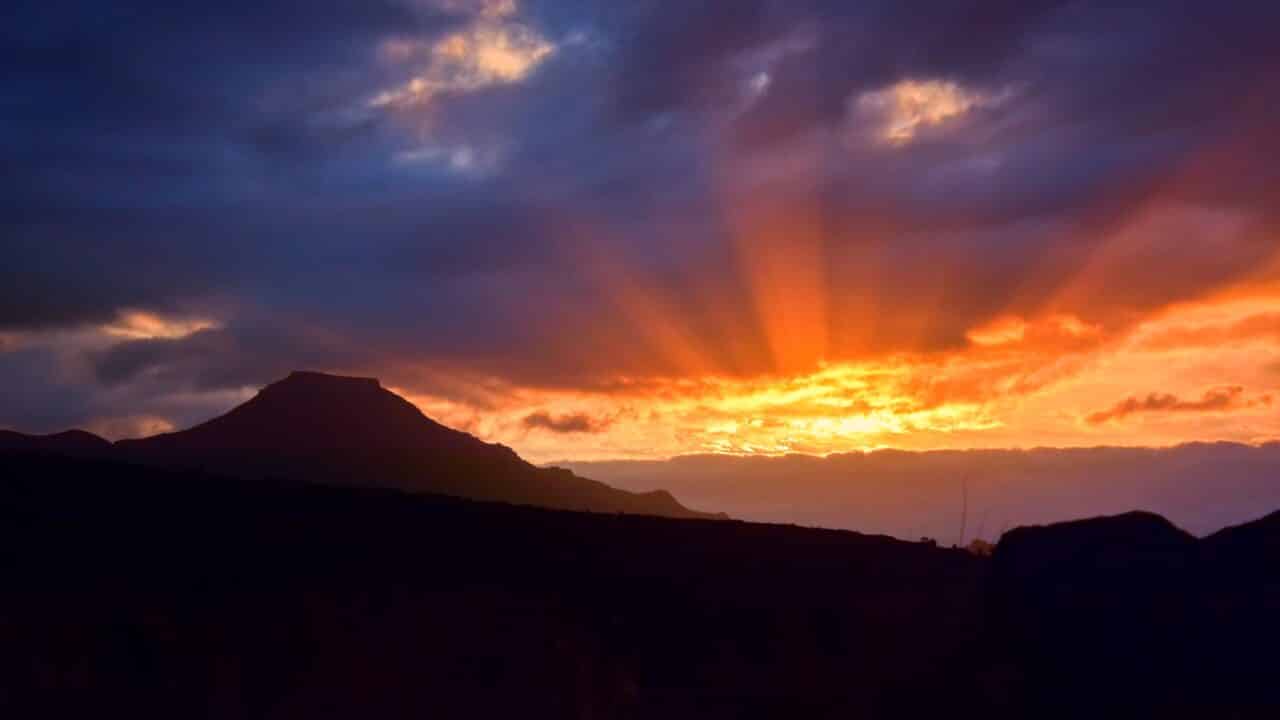
Don’t forget to bring a high-quality, lightweight tripod and savor the sunrises, sunsets, and pristine views of the night sky.
You can charge your devices in restaurants and on some buses, but I found the stability of their power grid to be very poor. Charging was very slow and often interrupted. After this experience, I left my power bank charging overnight in a restaurant, went to sleep outdoors, and picked it up in the morning. Next time, I’ll consider bringing a solar power bank.
Tenerife
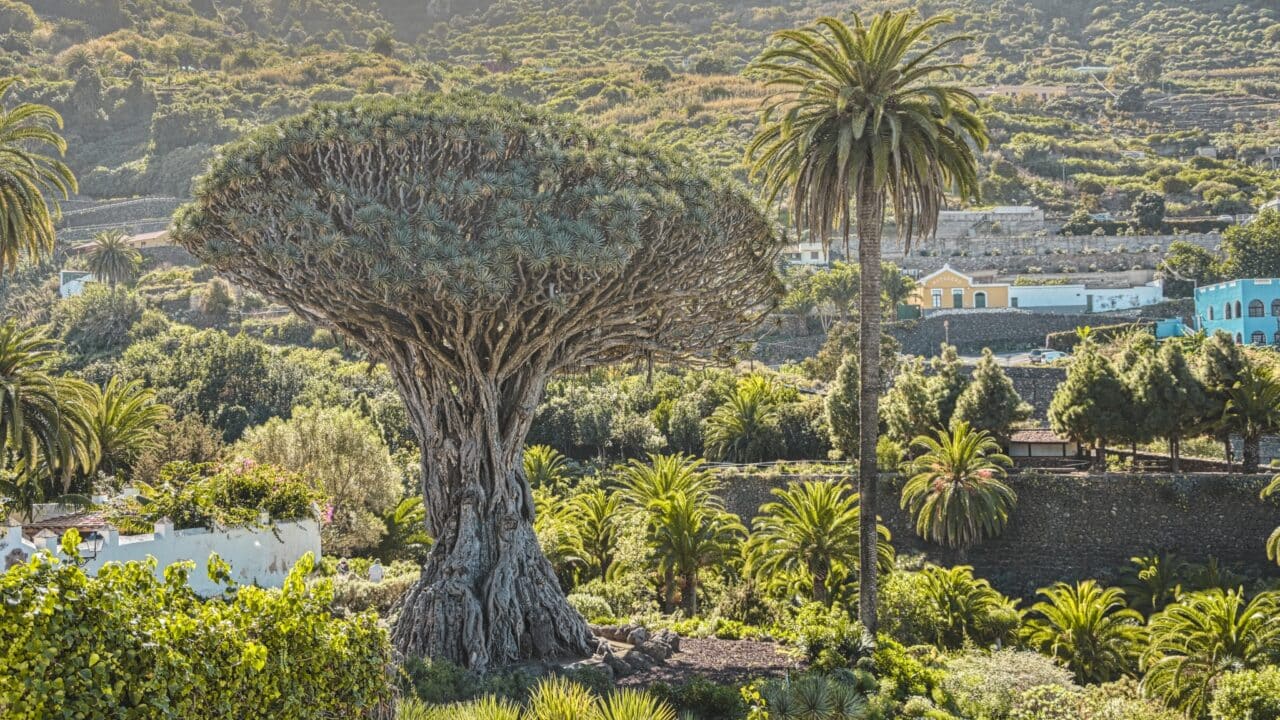
The island of Tenerife is located near the Tropic of Cancer. The sun moves directly overhead. Complete darkness falls instantly when the last rays disappear over the horizon. The island is home to many endemic species, one of which is the dragon tree (Dracaena draco), one of the symbols of the island.
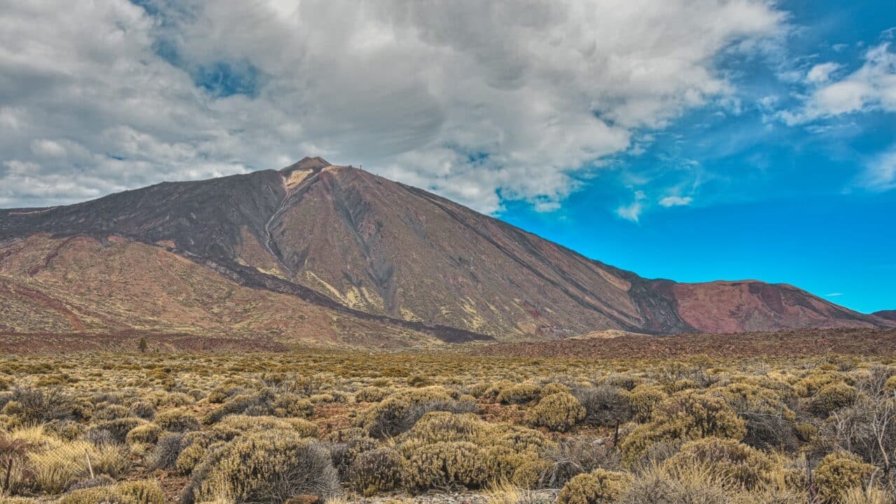
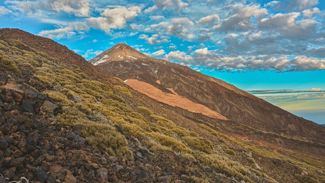
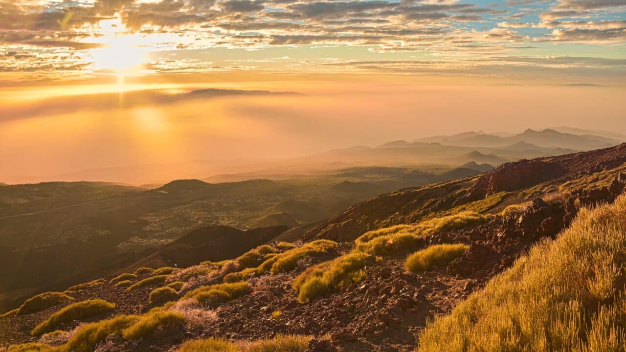
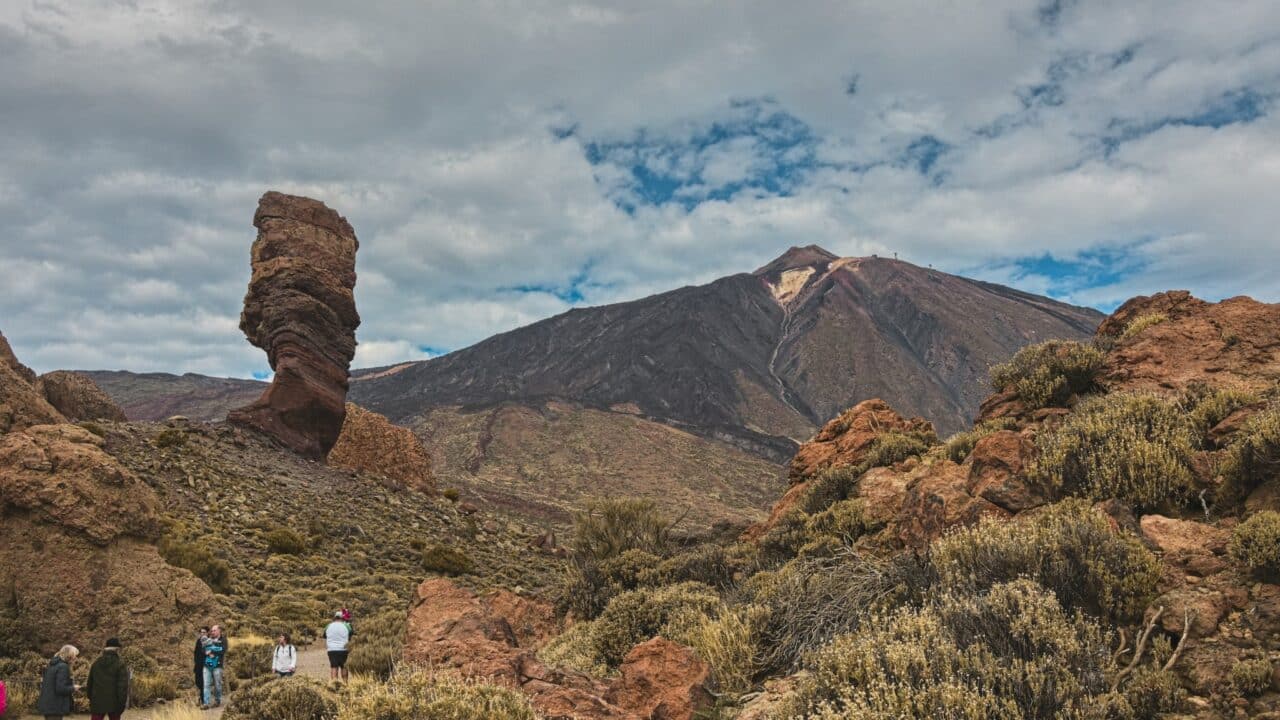
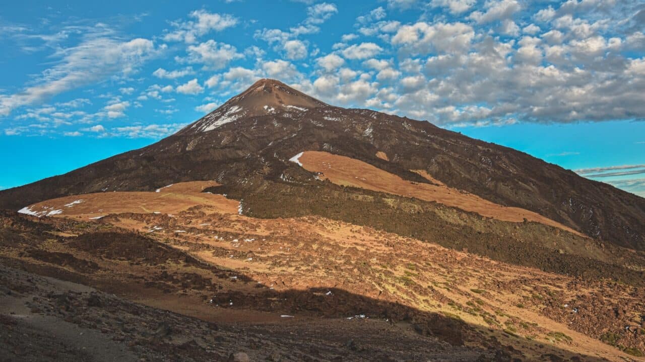
An ancient volcano with a diameter of 16km forms a plateau in the middle of the island at an altitude of about 2000 meters above sea level. The peak of Spain’s highest mountain, the volcano Pico del Teide, at 3718 meters rises from it. This divides the island into different climate zones.
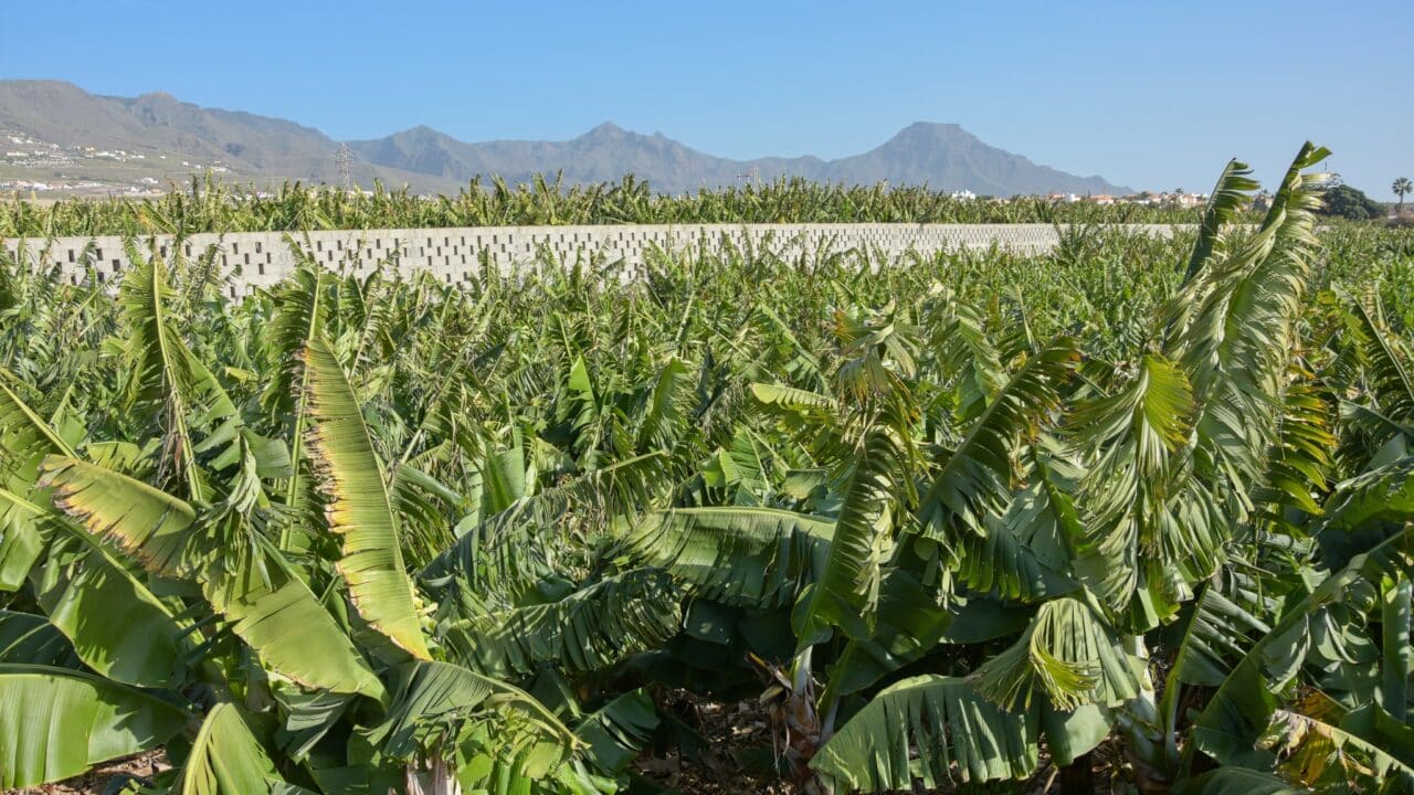
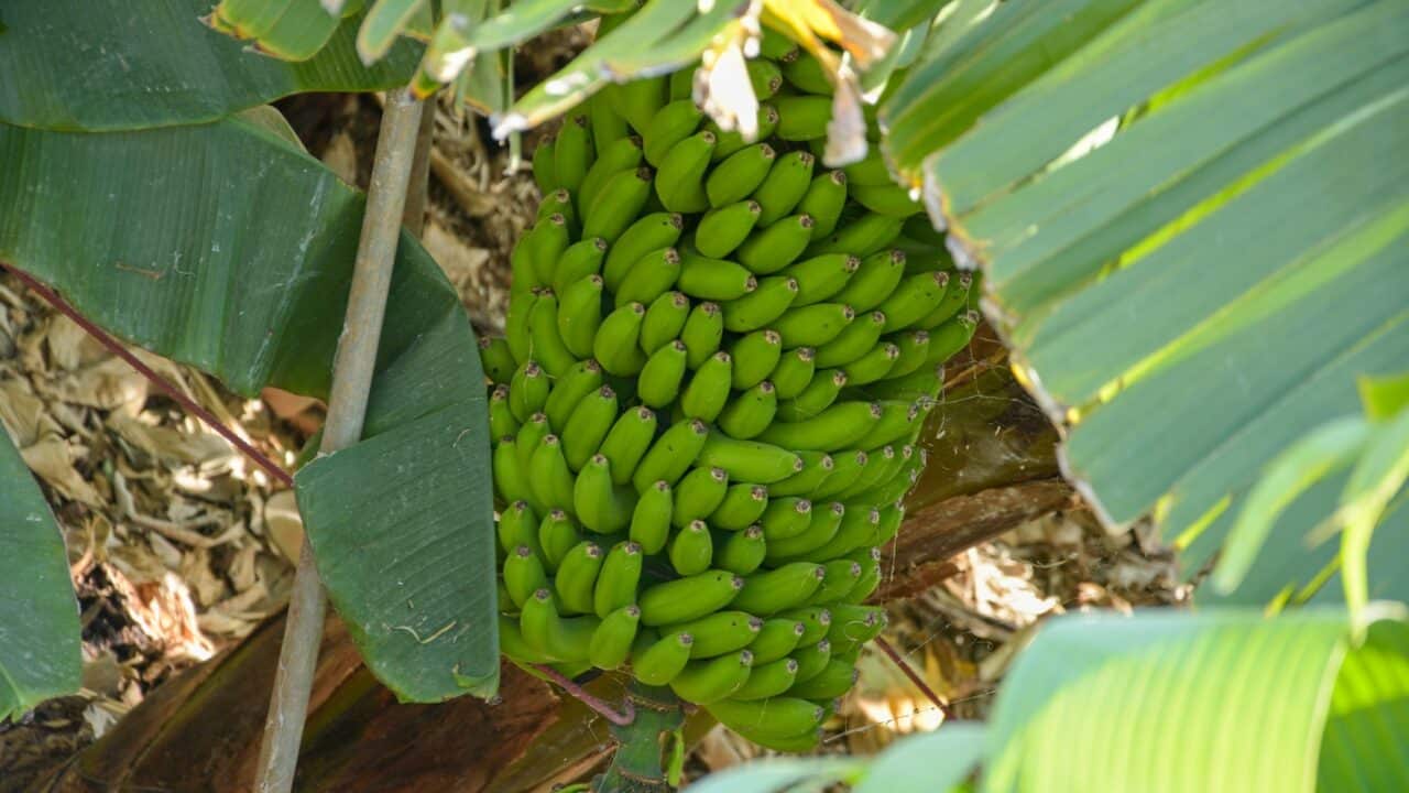
The south of the island gets almost no rain, with subtropical to desert characteristics. Bananas thrive here thanks to the large amount of sunshine, and bananas from Tenerife are famous for their small size and sweet taste. Their irrigation uses rainwater collected in the mountains and an irrigation canal system.
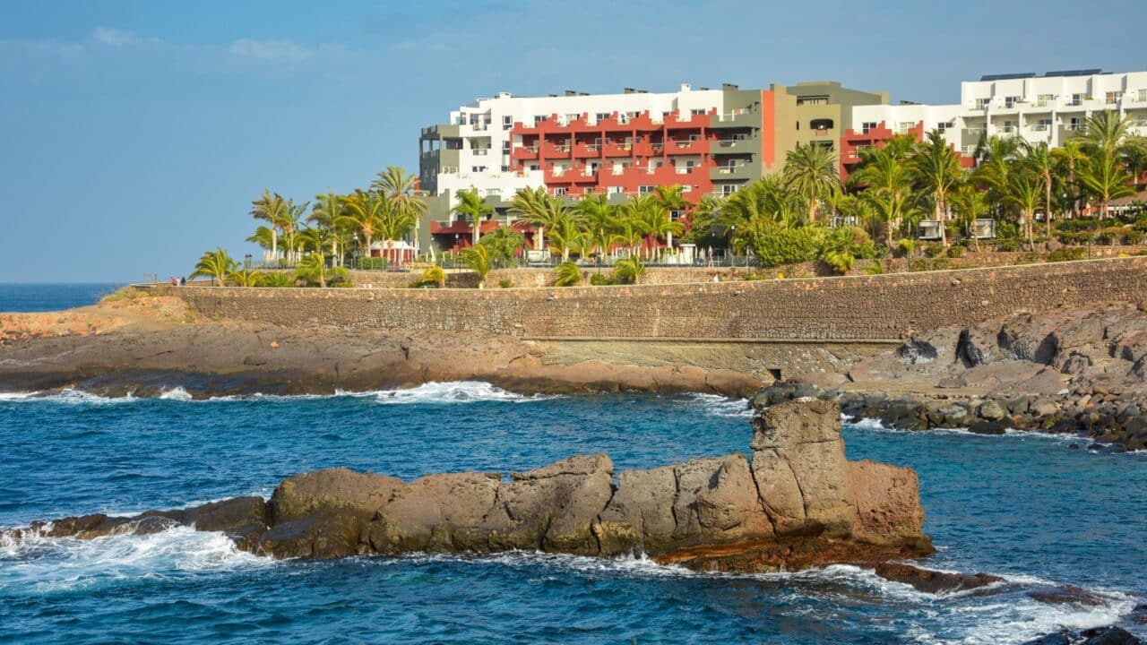
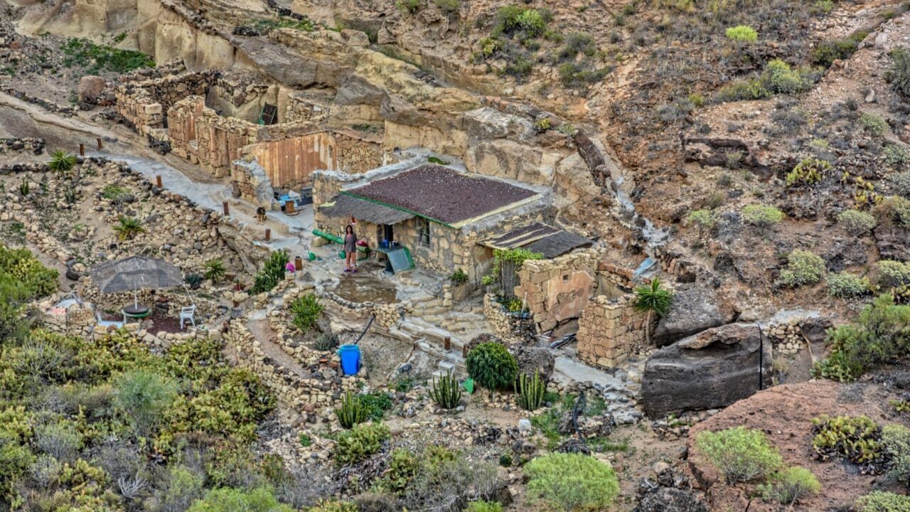
Beautiful sandy beaches are perfect for relaxation, and there are many tourist resorts. But if you look, you can find hidden beaches where people stay in shelters made of stones and branches.
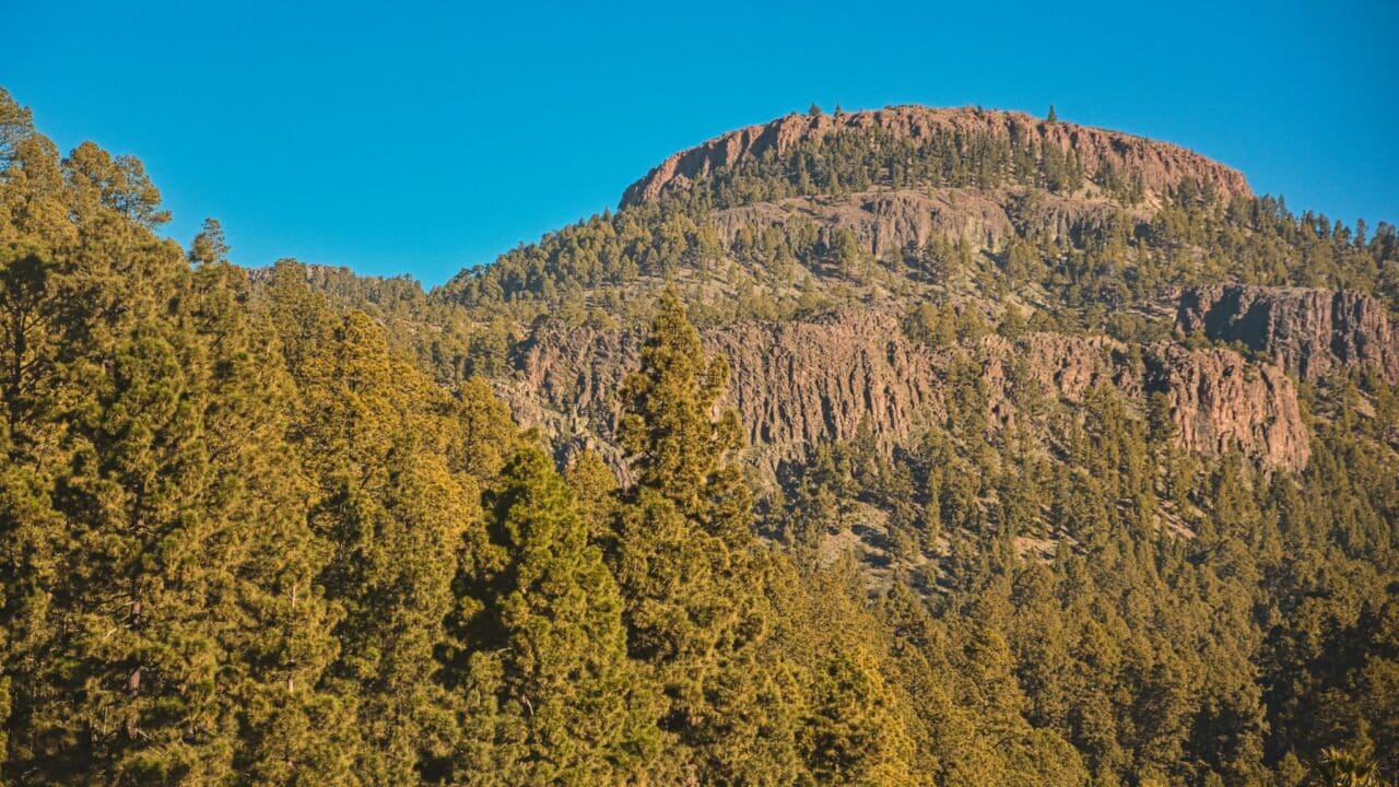
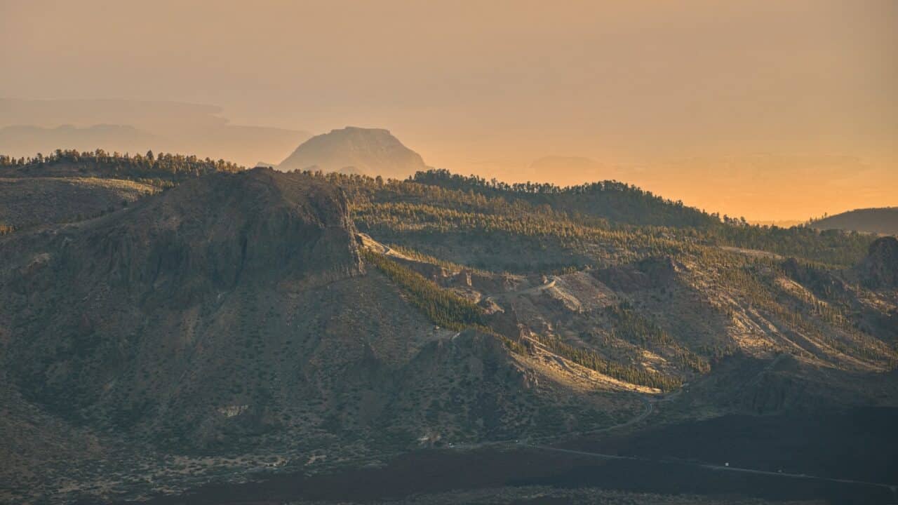
There is a pine belt at the foot of the plateau. Tall pines with massive needles draw water from passing clouds and store it in their root systems. There is greater cloud accumulation and precipitation on the western side of the island, due to the trade winds. The most is in the north, in the Anaga mountain range, where there is a protected area with many habitats and a subtropical rainforest nearby.

Thanks to low light pollution and good climatic conditions, Tenerife has a well-known observatory.
The Canary Islands are part of Spain, which makes it more accessible. However, be prepared that many locals only speak Spanish. You can use English mainly during random encounters with other tourists from around the world. I met a beautiful waitress named Gisela from Argentina, a family from Chile, a botanist from Poland named Jim, and Alisa from St. Petersburg, among many others.
You can get around the island using local buses, but it’s quite an experience. Timetables only tell you when the bus leaves the first station and how long it takes to get to your stop. In practice, this means you come to a stop and wait. And when something finally comes, you get on because you have no idea when the next one will come.

For a better overview of timetables, you can try different mobile applications like Rome2Rio or Titsa.
There are many photogenic places in Tenerife. These include:
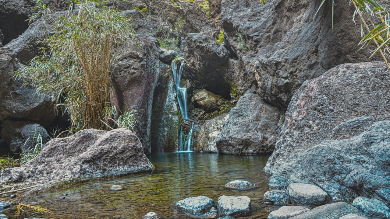
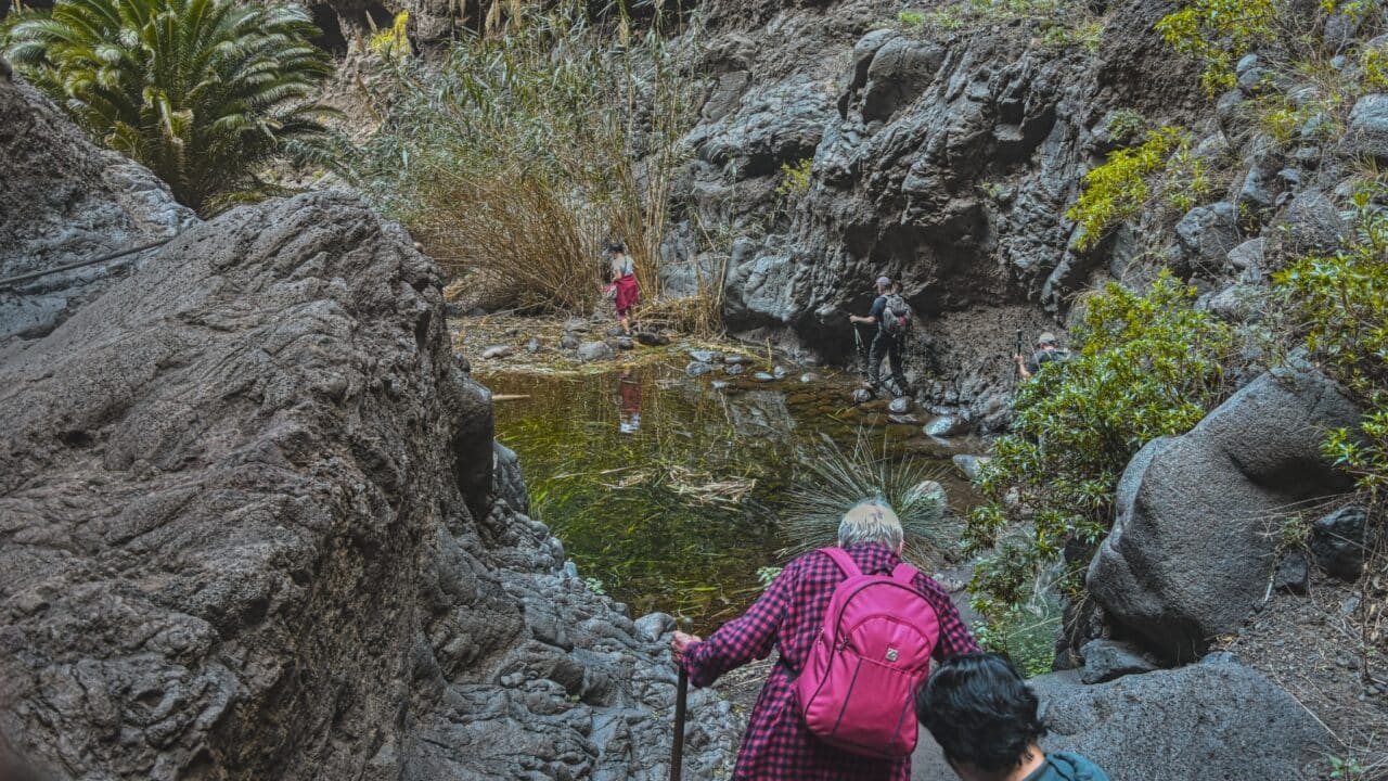
- The old pirate trail in the Masca Gorge
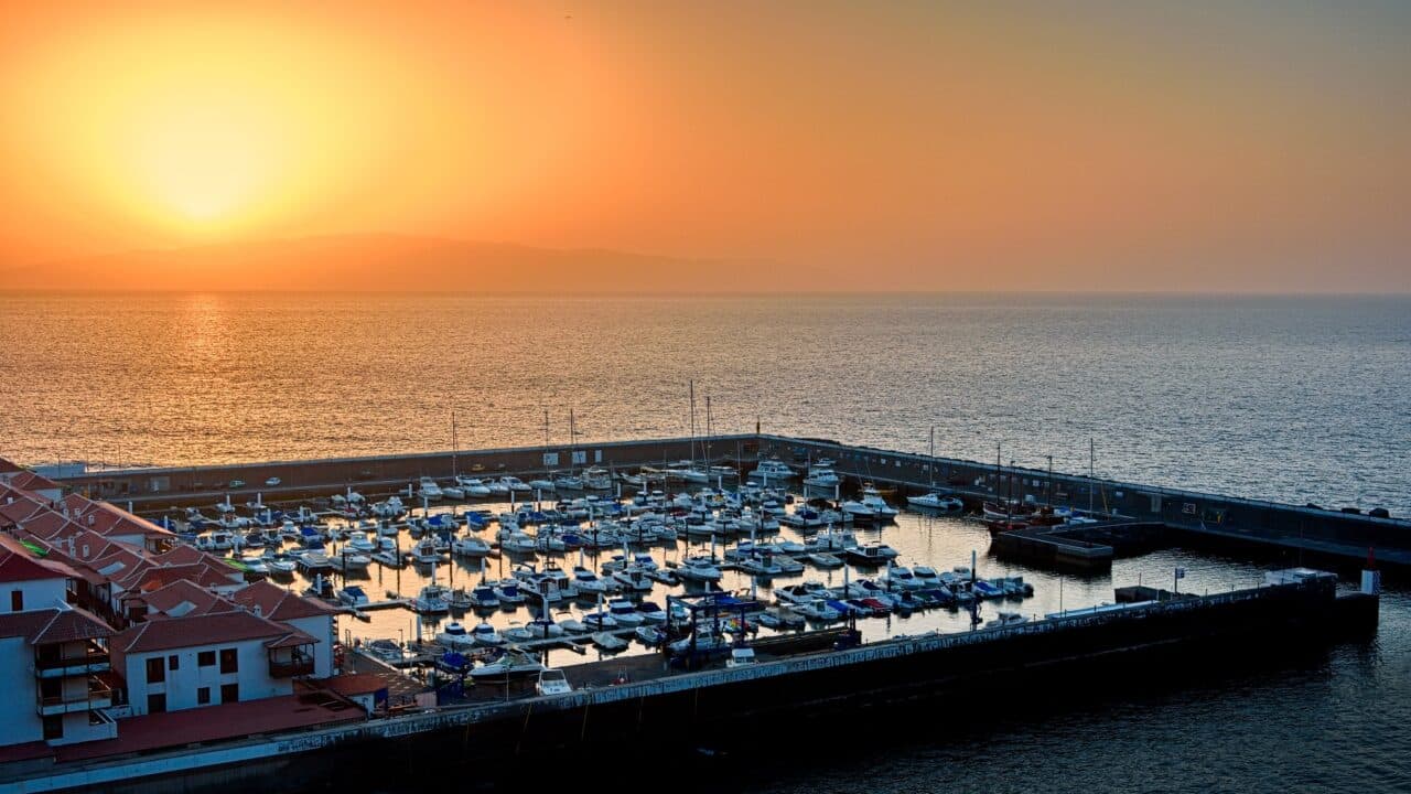
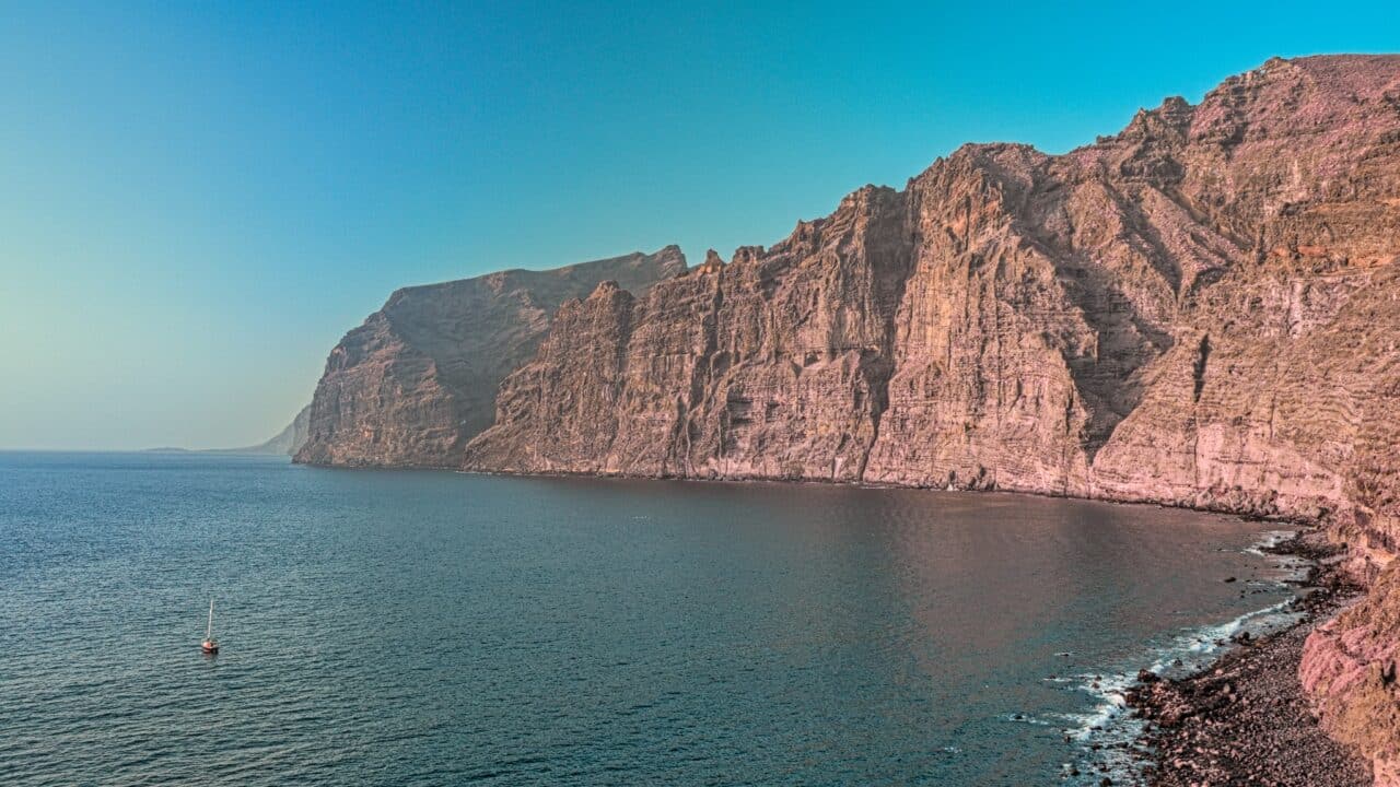
- The mighty cliffs above the Bay of Los Gigantes
- Spain’s highest mountain, the volcano Pico del Teide
- Pine forests around the plateau
- The beautiful rainforest of Anaga
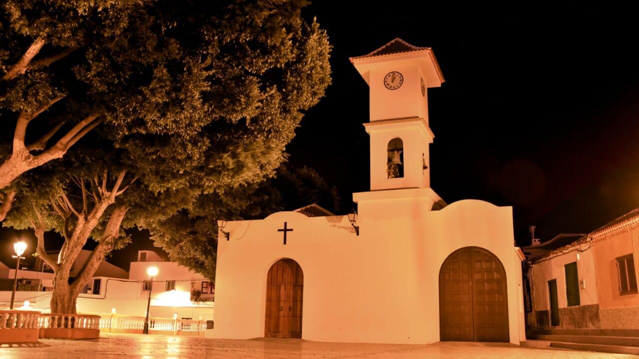
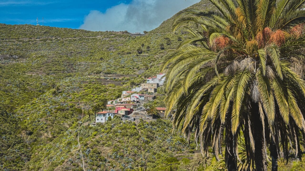
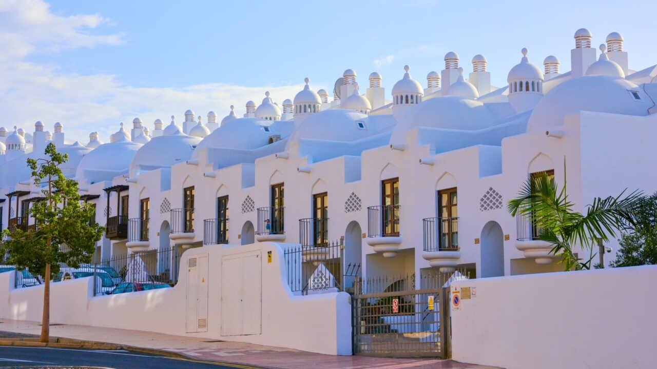
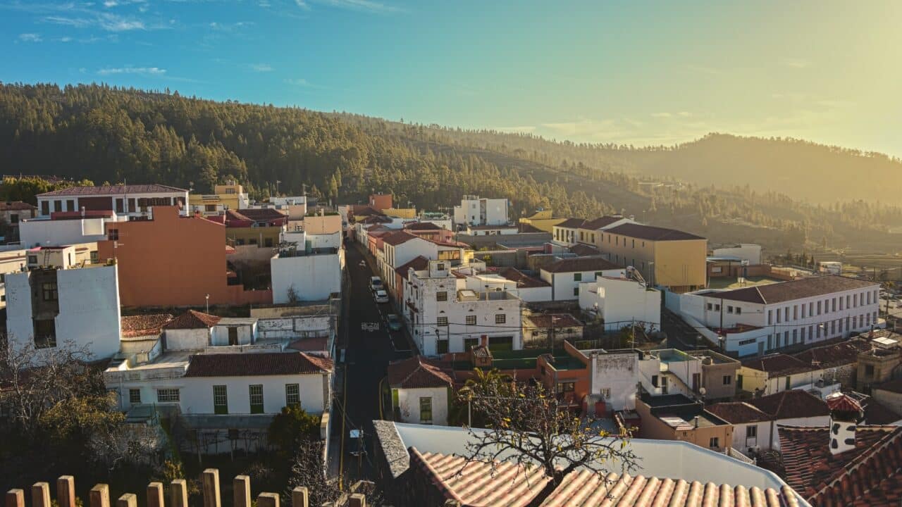
- Picturesque towns
- The ancient tree El Drago
Masca Gorge
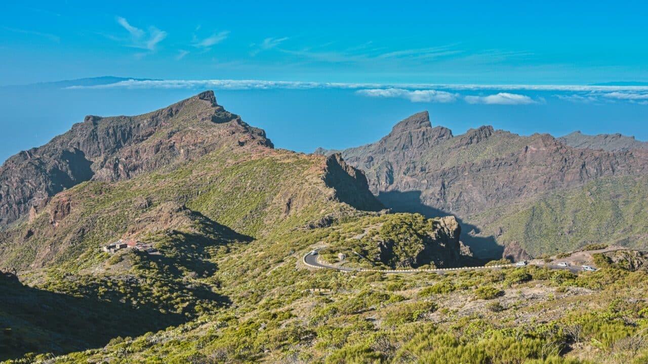
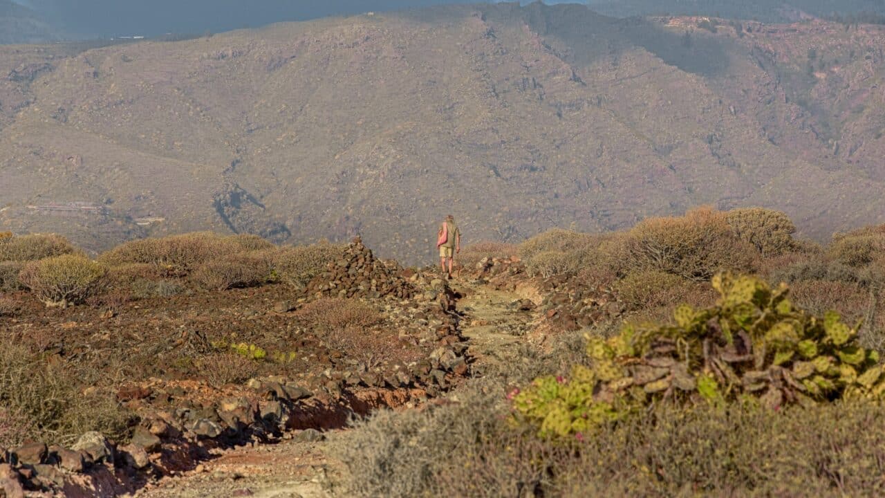
As part of my trip across Tenerife, I planned several stops throughout the journey. One of them was the Masca Gorge. I spent a few nights among lava fields and cacti. I found a nice flat spot, set up my bivouac, and observed the starry sky. It took me a while to find the North Star. It is much lower on the horizon than at home, almost not visible. Even the moon moved differently than I was used to.
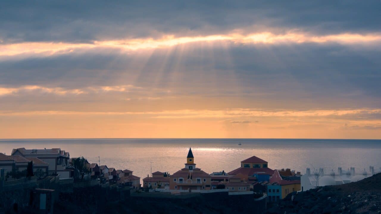
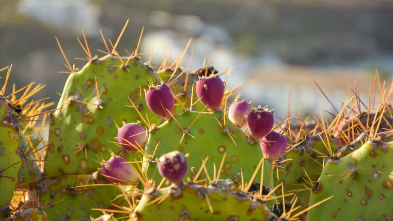
In the morning, I discovered that the cacti around me were prickly pears. I carefully peeled off their spiny skin to taste their true flavor. I then took the bus to the cliffs of Los Gigantes. I stood high above the harbor and watched the sunset.
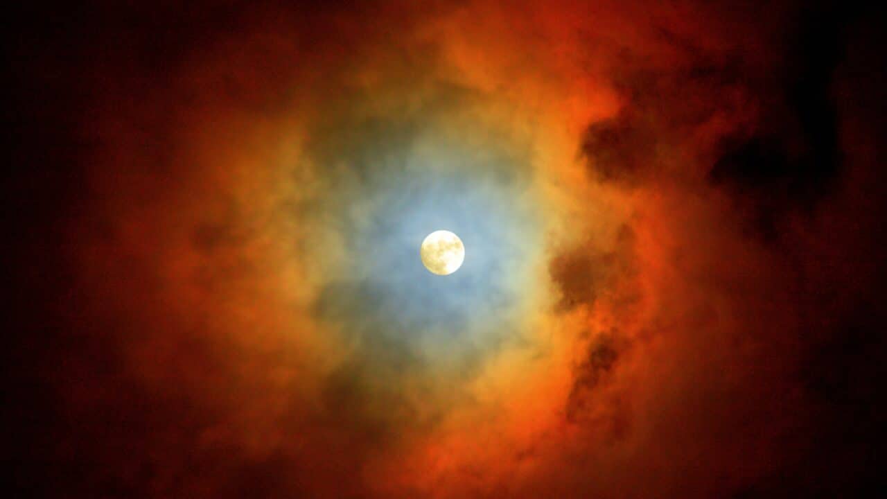
I tried to sleep, but shortly after dark, the full moon rose. It was like daylight. I prepared my camera, put on a filter, and took a whole series of shots. Taking pictures woke me up, so I packed my things and instead of sleeping, I set off on my way.
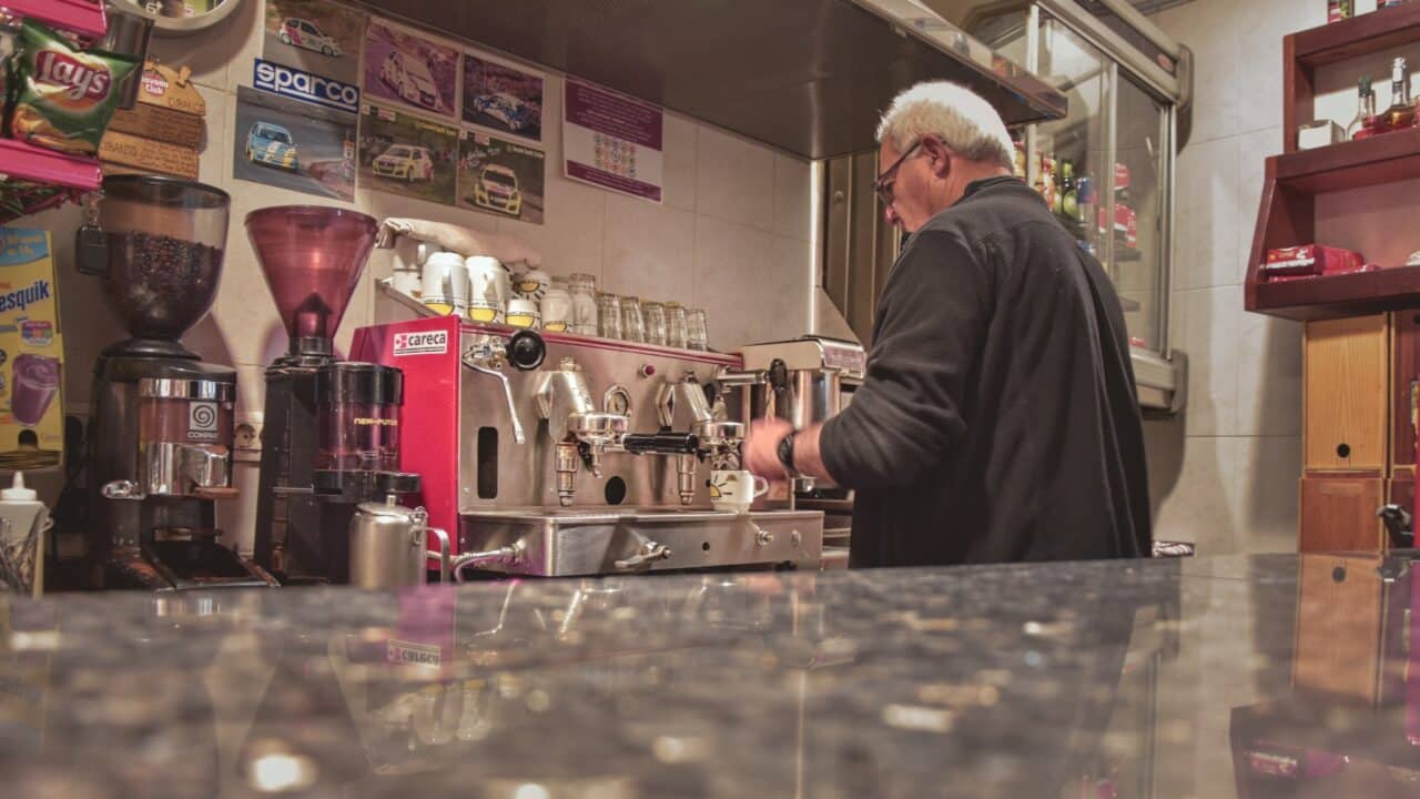
I walked along the trail in the ravines between banana plantations. Although I forgot my flashlight at home, the moon lit my way. Before dawn, I arrived at the village of Tamaimo. It was four in the morning, and I was walking through the sleepy streets when someone shouted “Coffee!” at me. He was just opening his café and invited me in. I waited for the first bus, replenished supplies in the town of Santiago del Teide, and set off toward the Masca Valley.
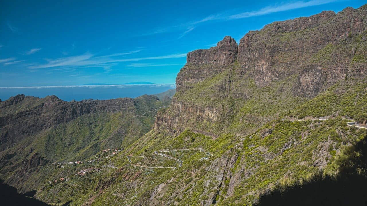
I still remember the view that opened before me when I crossed the horizon and looked towards the sea to the Degollada de Cherfe Pass, 1050m above sea level. Huge cliffs jutting into the sea and islands peeking out of the clouds in the distance. It all looked like something out of a fantasy novel.
There is always something to photograph throughout the entire trail, so have your camera ready. But given the terrain, make sure it is firmly attached to your backpack. The gorge has high humidity, so don’t put the camera under your shirt to avoid fogging. If you often use external camera attachments on your travels, I recommend the Capture attachment from PeakDesign.
I descended the road into the gorge. The trail kept winding and seemed endless. After about two hours, I reached a beach with black sand. Unfortunately, I couldn’t make it back up before dark. So I slept on a stone pier near the beach. In the morning, I waited impatiently for the first boat to return to the harbor.
Volcano Pico del Teide
The next day, I looked up at the volcano, and it seemed like the best time to head to the mountains. The lowlands were experiencing sandstorms.
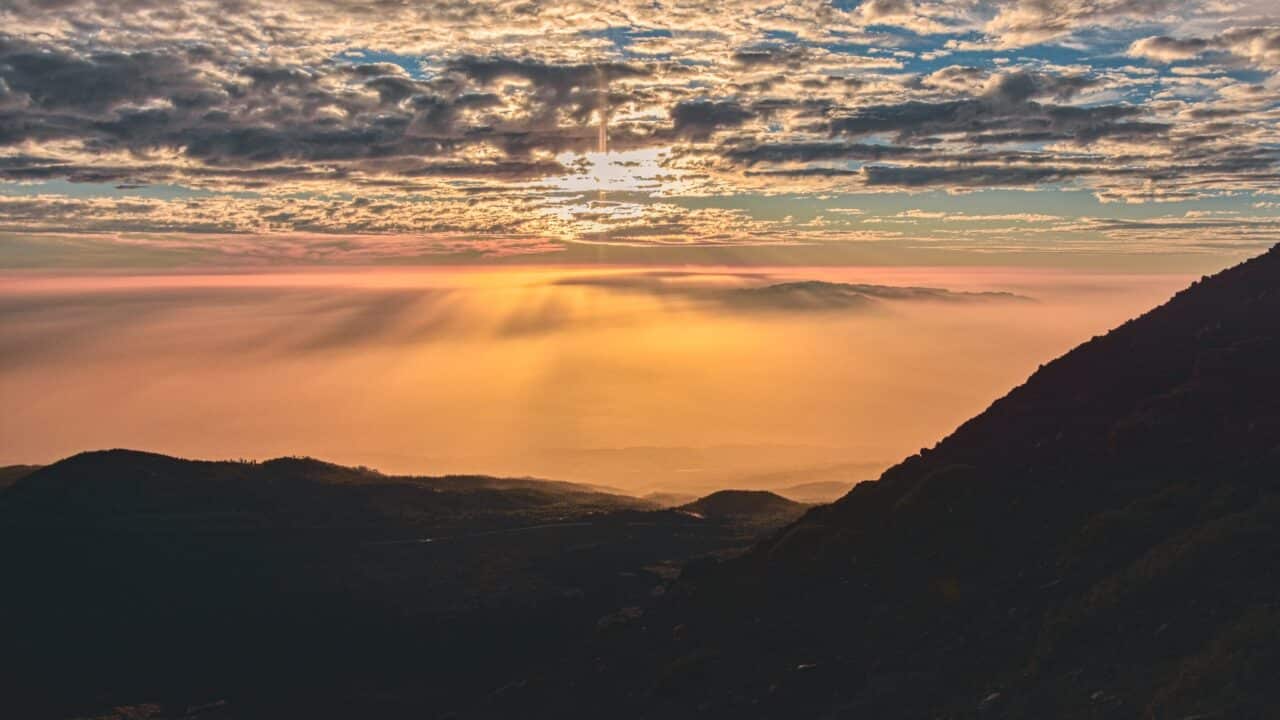
The bus had just arrived, so I had to get on without buying supplies. Soon I was above the sand clouds and seeing beautiful blue skies. I hoped to find supplies somewhere along the way. The bus kept climbing. After some time, I was surrounded by a lunar landscape with a prominent volcano.

You need a permit to reach the peak of Teide. Only a limited number of visitors are permitted. An alternative is to go at night and be at the peak for sunrise.
It was Friday the 13th, I had no flashlight and apart from some raisins, no food. I considered all the scenarios and waited for the right moment to climb. Luckily, I had enough water, so I set off for the summit.
Trail N°23 – Los Regatones Negros reported: Current position 2,185m above sea level, goal 3,070m above sea level, reachable in 4 hours, difficulty: Extreme. The route was pleasant at the beginning. It was nice to walk on and I managed to keep up with the pace indicated on the signs.
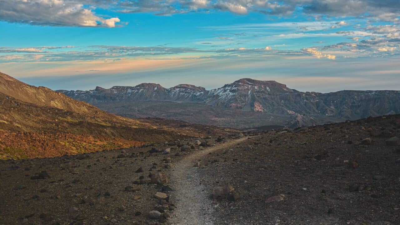
As I approached the 3000m mark, I started to feel out of breath and feel the icy wind. On the way, I met several people descending, and everyone warned me that there was ice at the foot of the volcano. The sun turned sunset orange, so I decided not to continue further.
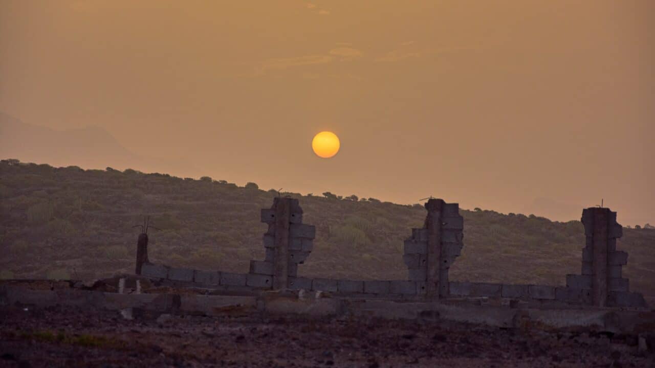
The fastest trail down led to the south (N°9 and then N°28) through other volcanic craters (Pico Viejo 3134m above sea level and El Calderón). I set a fast pace and my body pulsed with adrenaline. In the distance, I saw the trail that could be walked even in the dark. The last rays of sun disappeared over the horizon, and I finally reached the solid path. I was through the worst of it, but still far from a safe morning.
The moon rose early and lit my path, which twisted like a snake. When I finally reached the road, I thought it was time to sleep. I was shivering from the cold, and my entire body felt cold. I was probably overly exhausted and the cold too severe. I had no choice but to continue walking through the night.
I walked through massive pine forests and arrived at the ancient town of Vilaflor (1305m above sea level) at dawn. I replenished supplies and set out to find a bus stop.
I went to see El Drago, the tree that was around during the age of dinosaurs. I couldn’t make it to the Anaga mountain range due to time constraints, but I know this was not my last trip to Tenerife.
There are no comments yet.