China: Sacred Mountain in Eastern Tibet
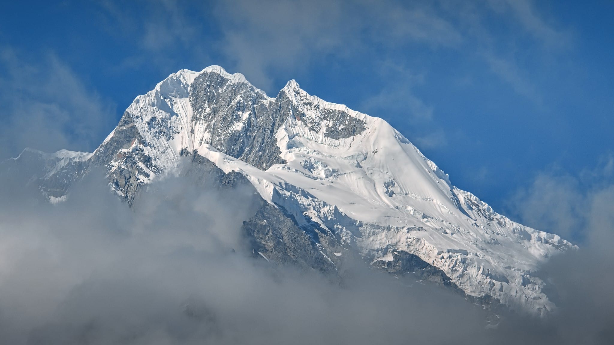
Have you ever seen a photograph that completely captivates you and even inspires you to travel? For Honza Musil, that photo was of the sacred Tibetan mountain Minya Gangkar. And that’s exactly where we’ll go on our next photography journey to China.
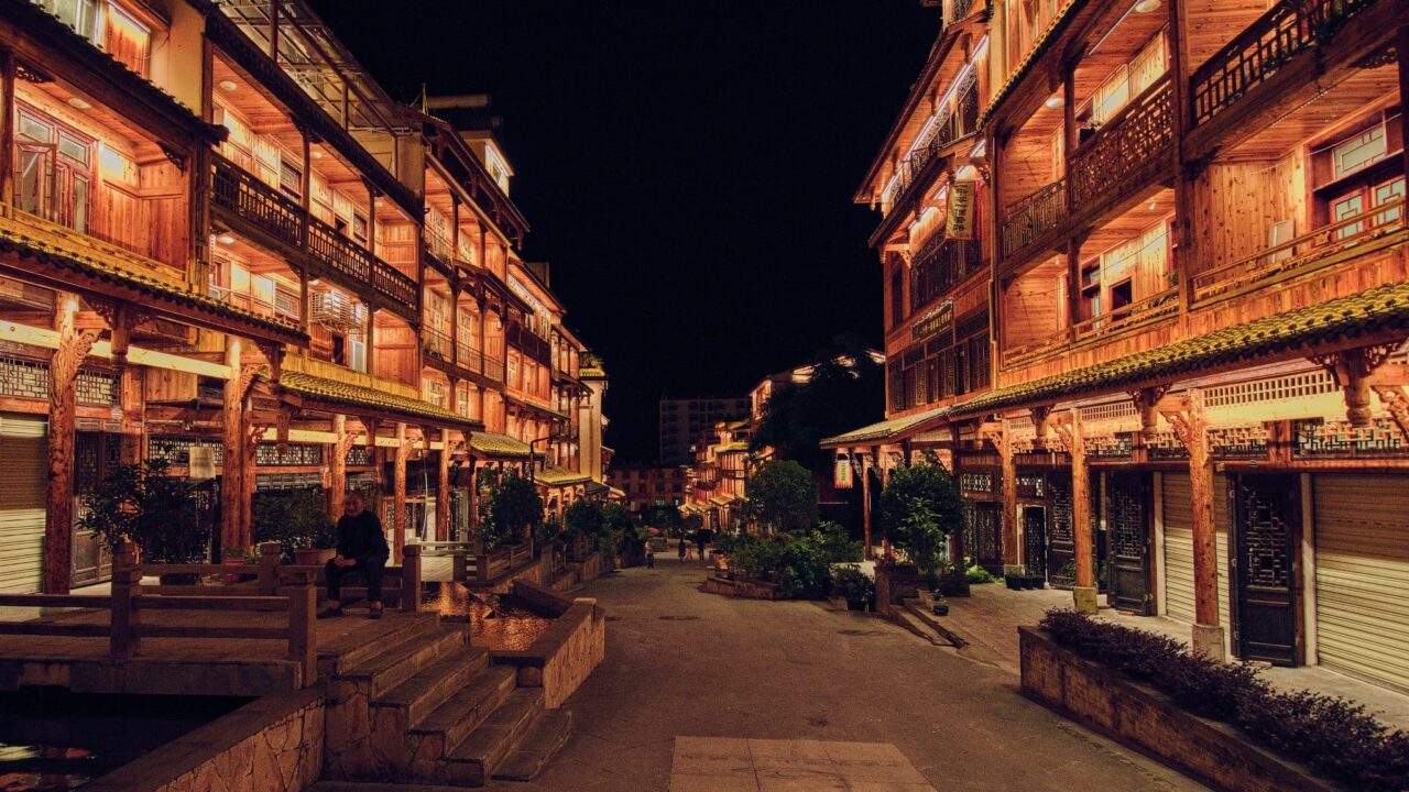
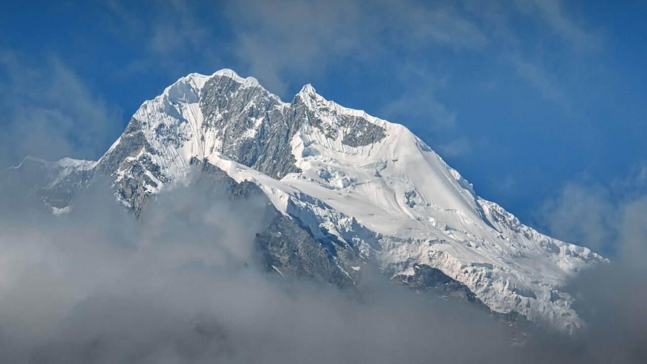
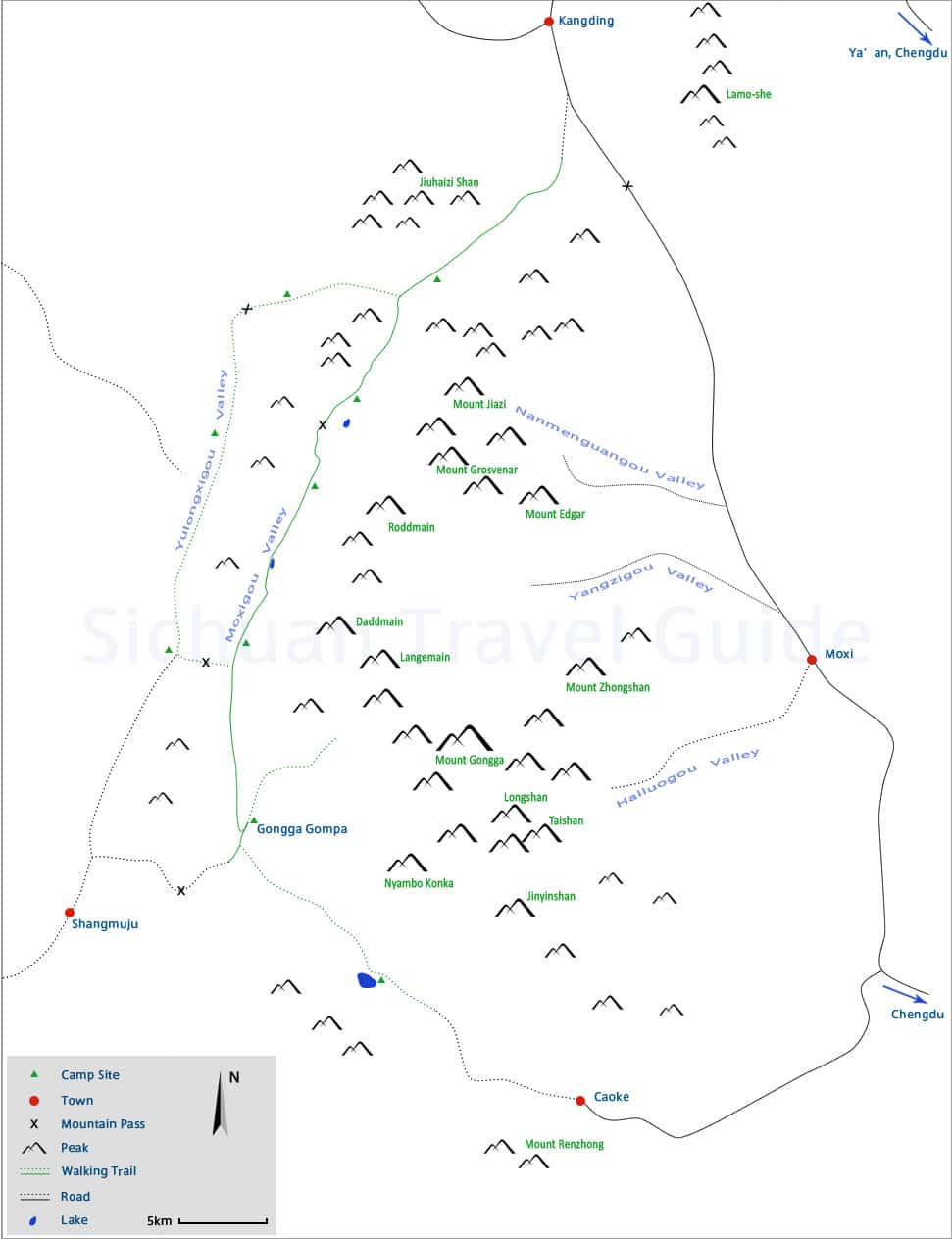
The best entry point to the mountainous region where the sacred Minya Gangkar is located (also known as Minya Konka or Mount Gongga, Tibetan: མི་ཉག་གངས་དཀར་རི་བོ་, Chinese: 贡嘎山, 7556 meters above sea level) is the town of Moxi 磨西镇 (Tibetan: འབོ་ཞབས་གྲོང་རྡལ།). I planned to arrive there by bus from Chengdu成都.
Packing for the trip was not easy. It’s hard to predict the weather at an altitude of 4000 meters. I wanted to camp on the ridgebacks if the opportunity presented itself, but every kilogram I left in the valley would help.
I opted for a large 70L backpack that I wore for the long trips. I had a smaller 40L backpack packed inside my larger backpack. I left my large backpack with additional items in the room when I went to the mountains and hiked with only a small backpack with my camera attached. Given the inclement weather, a smaller high-quality bag also proved useful while traveling. I prefer the Sling 6L and X-Small Cube from Peak Design, which I combine with different backpacks as needed.
The Journey
Before exploring the beauties of Beijing, we wanted to explore the sacred mountain in eastern Tibet.
When traveling to China or other countries, be mindful of various restrictions that you may encounter and can potentially cause delays, especially during quick transfers.

The battery capacity you can carry on a plane can’t exceed 10,000 mAh and must be clearly labeled.
Additionally, make sure all electronics, including camera batteries, have covered connectors.

Find more tips on what to expect when traveling through China in the first part of this series: China: The Land of Many Faces.
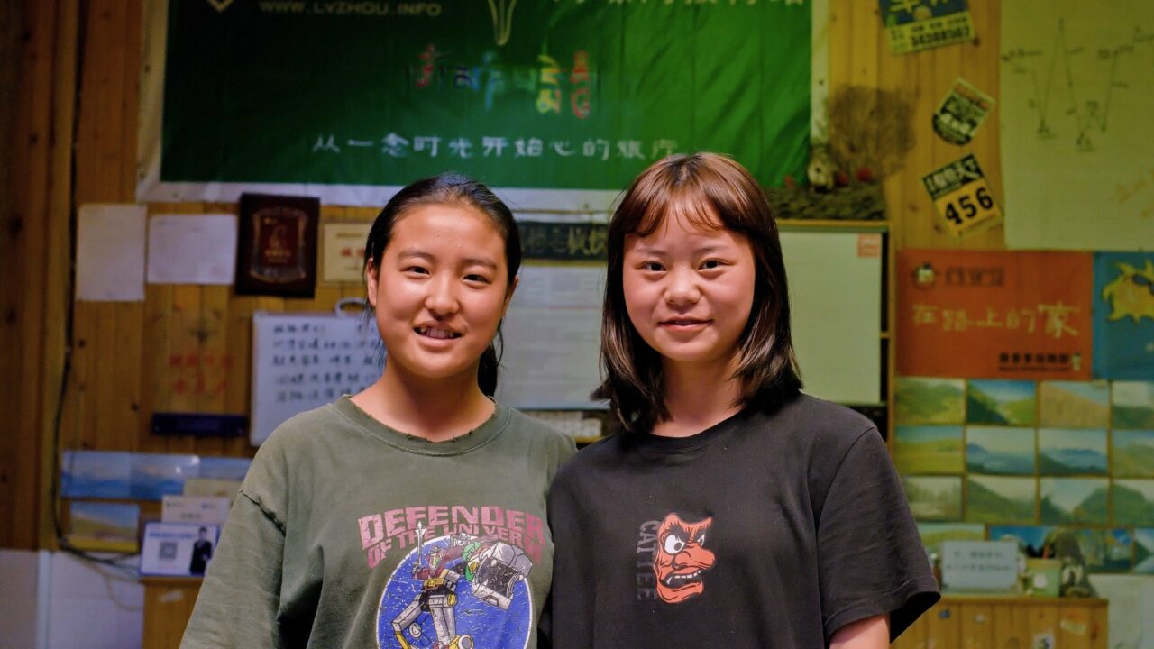
Most hotel staff can communicate in basic English, but here in Moxi, no one spoke a word of it. The issue was resolved by the girls using the translation app on their phones. It was entertaining at times because their translator didn’t understand my English very well and often produced nonsense. However, with WiFi, I translated from Czech directly to Chinese using Google Translate, which seemed to work better.
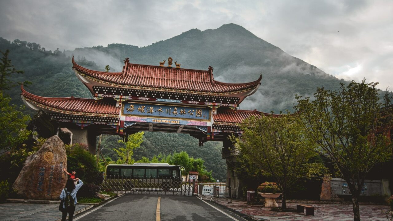
Hailuogou Glacier དུང་དཀར་ལུང་པ
I looked at the sky only to see everything was still under thick clouds. The weather at the end of rainy season can be very unpredictable. I planned to head towards the glacier, and if possible, climb to the mountain pass at 3500 meters above sea level, offering a beautiful view of the mountain peak.
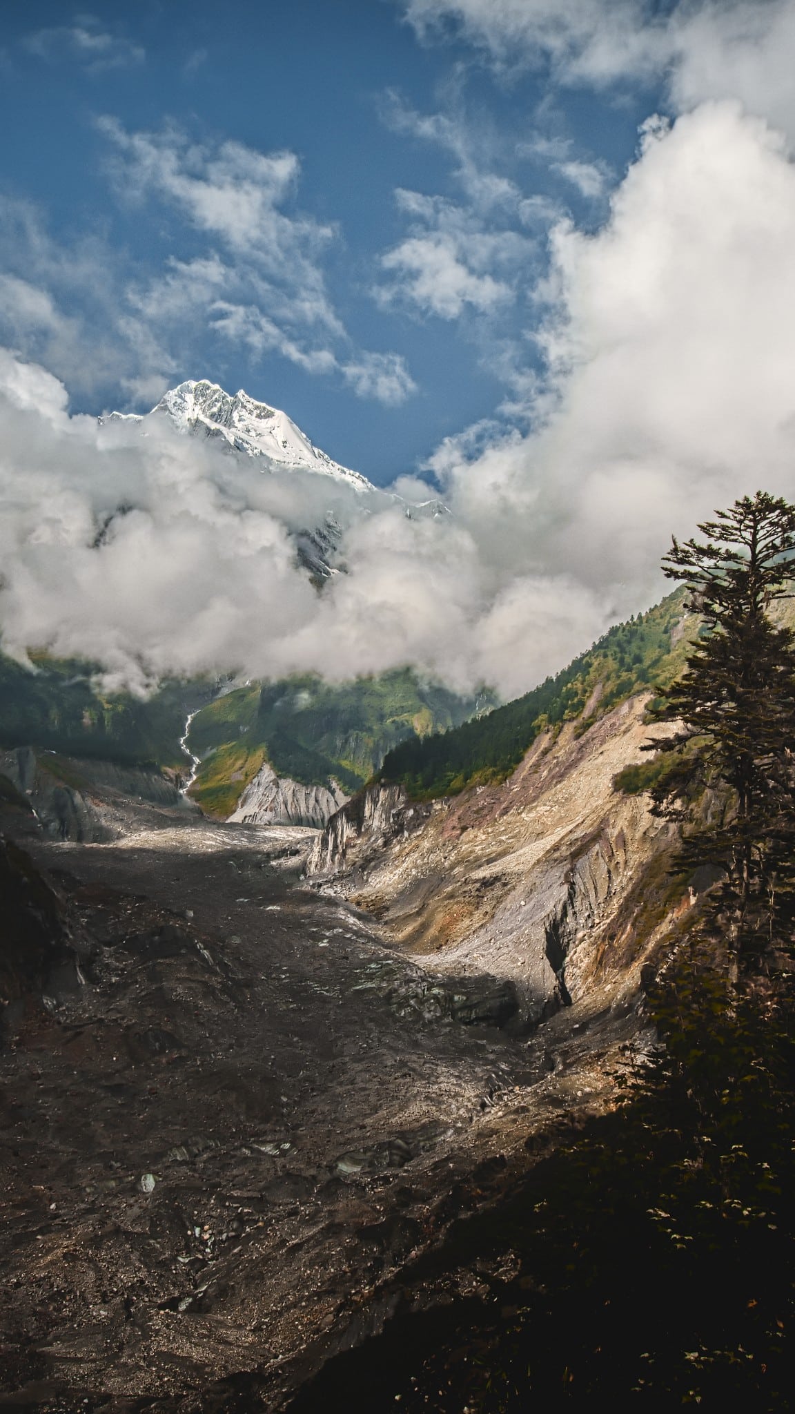
The glacier in the valley formed 16 million years ago, and geologists call it a modern maritime glacier. It is 15km long and the largest glacier at the lowest latitude in the world. Located on the windward side of the sacred mountain, it receives abundant snowfall.

The glacier, in addition to its surroundings, is constantly undergoing significant changes. You can find several large waterfalls nearby. This is due to the warm and moist airflow from the Indian Ocean.
I arrived at the foot of the glacier and from a distance, I could already tell that the entire path under the glacier was torn apart and impassable. I was left with no choice but to take the cable car. I got off the bus and looked in the direction where the top of mountain might be.
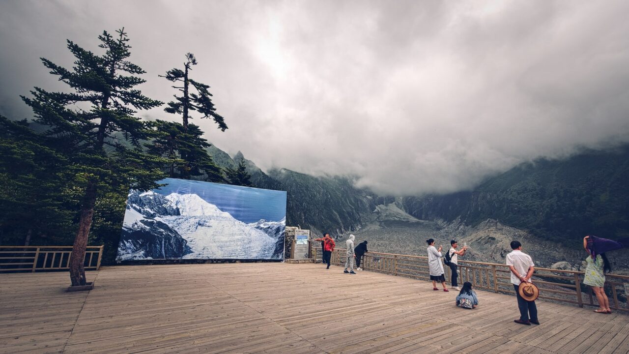
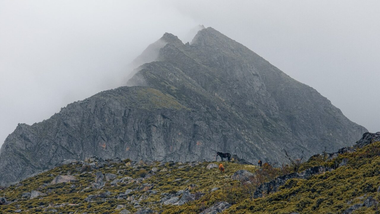
The clouds were thick, but the wind was playing games with them. To my delight, the clouds parted for about twenty minutes and the beautiful snow-capped peak of the sacred mountain appeared in front of me. It may have been only a few minutes, but I am incredibly grateful to have seen it. For the next few days, the peak remained hidden in the clouds.
The best time to visit Hailuogou is from October to April, when there are fewer overcast days. In spring, you can observe the contrast of blooming bushes against snow-capped hills.
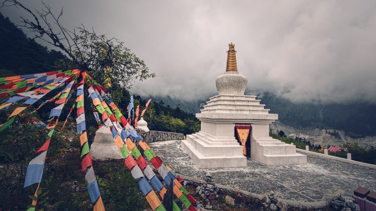
Near the Tibetan stupa, a collector offered me dried flowers from a mysterious plant. From his hand gestures, I understood that he had gathered them here in the mountains and suggested I make tea from them.
It was the flower of the mountain, Chrysanthemum. According to the text, Chrysanthemum activates the pathways of the lungs and liver. After drinking the tea, all symptoms of jet lag and altitude sickness seemed to disappear.
At the top, there is a walking circuit with an observation deck near the cable car. An interesting Chinese phenomenon – you can get access to WiFi and a large billboard for taking selfies with a photo of the mountain peak, in case the mountain isn’t visible in bad weather.
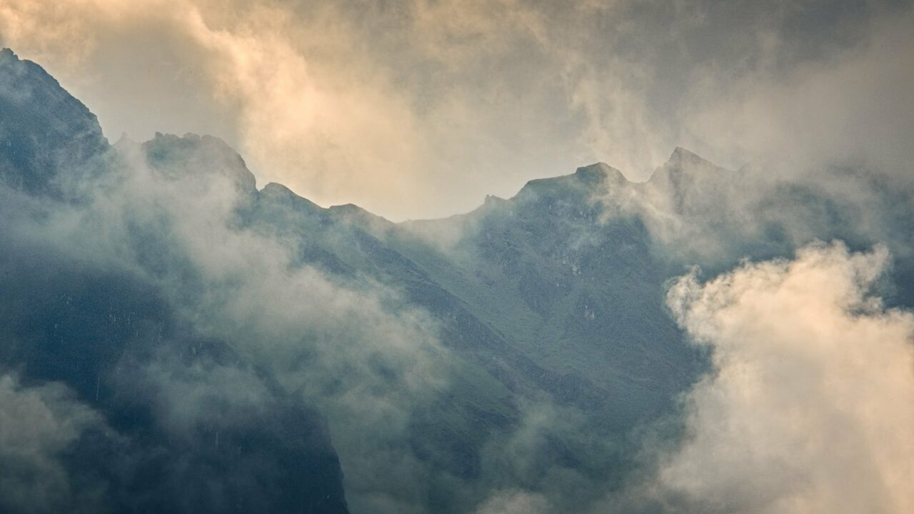
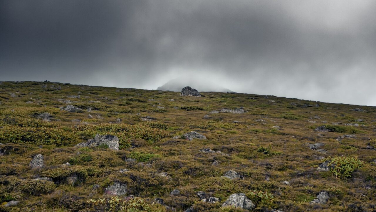
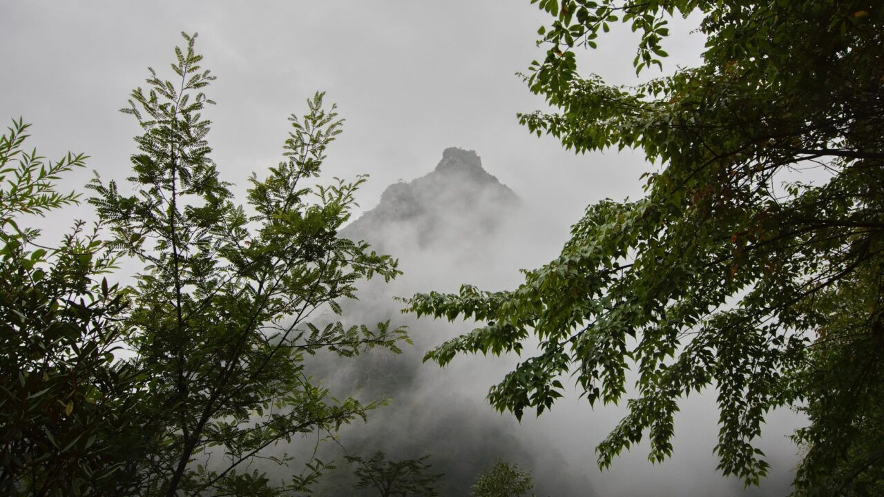
At the highest point of the circuit, I hid from people, savoring the views of the clouds rolling in over the peaks.
Red Stone Valley
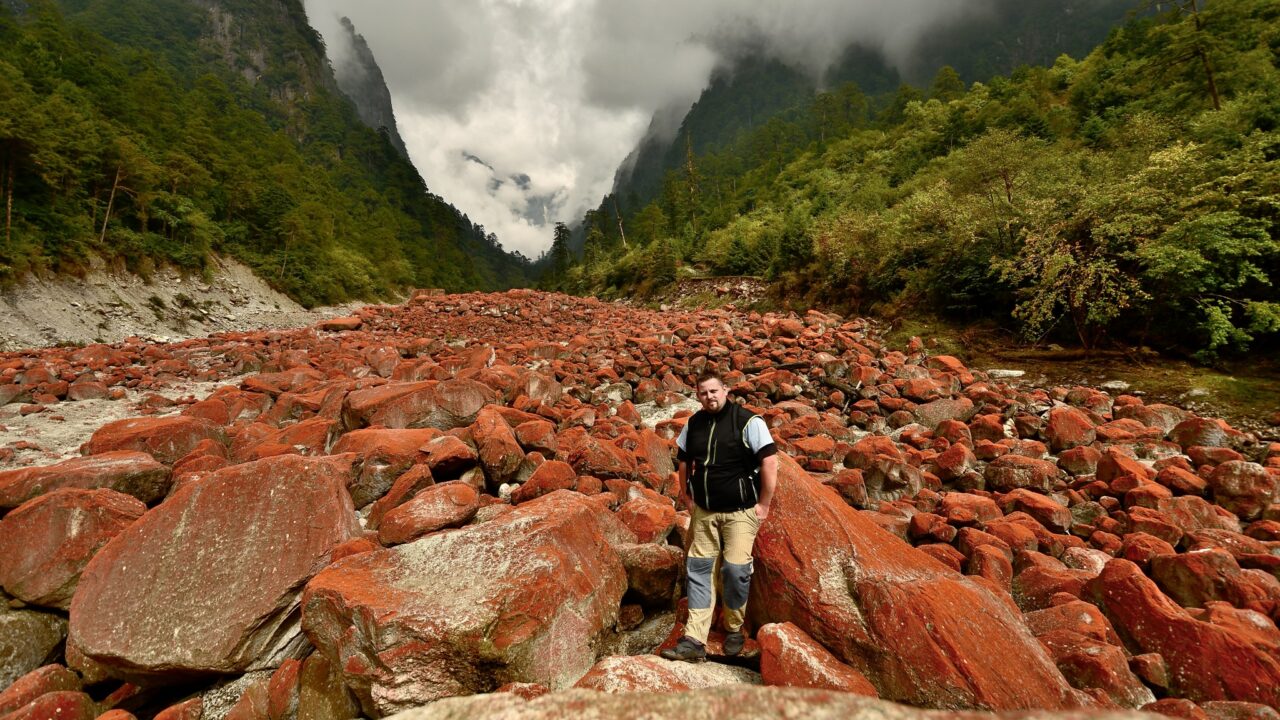
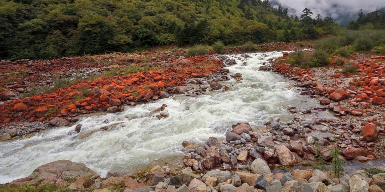
I headed to the Red Stone Valley, which formed not long ago. Less than 20 years ago, all the stones around the glacier were covered with red algae. This algae is very sensitive to environmental conditions, but the local climate offers everything it needs. This area receives a lot of rainfall, and the glacier contains a large amount of manganese and other minerals. Around the rocks, many hot springs keep the stones warm even during winter frosts. The warmest spring in the area has a temperature of 92°C, exceeding the local boiling point.
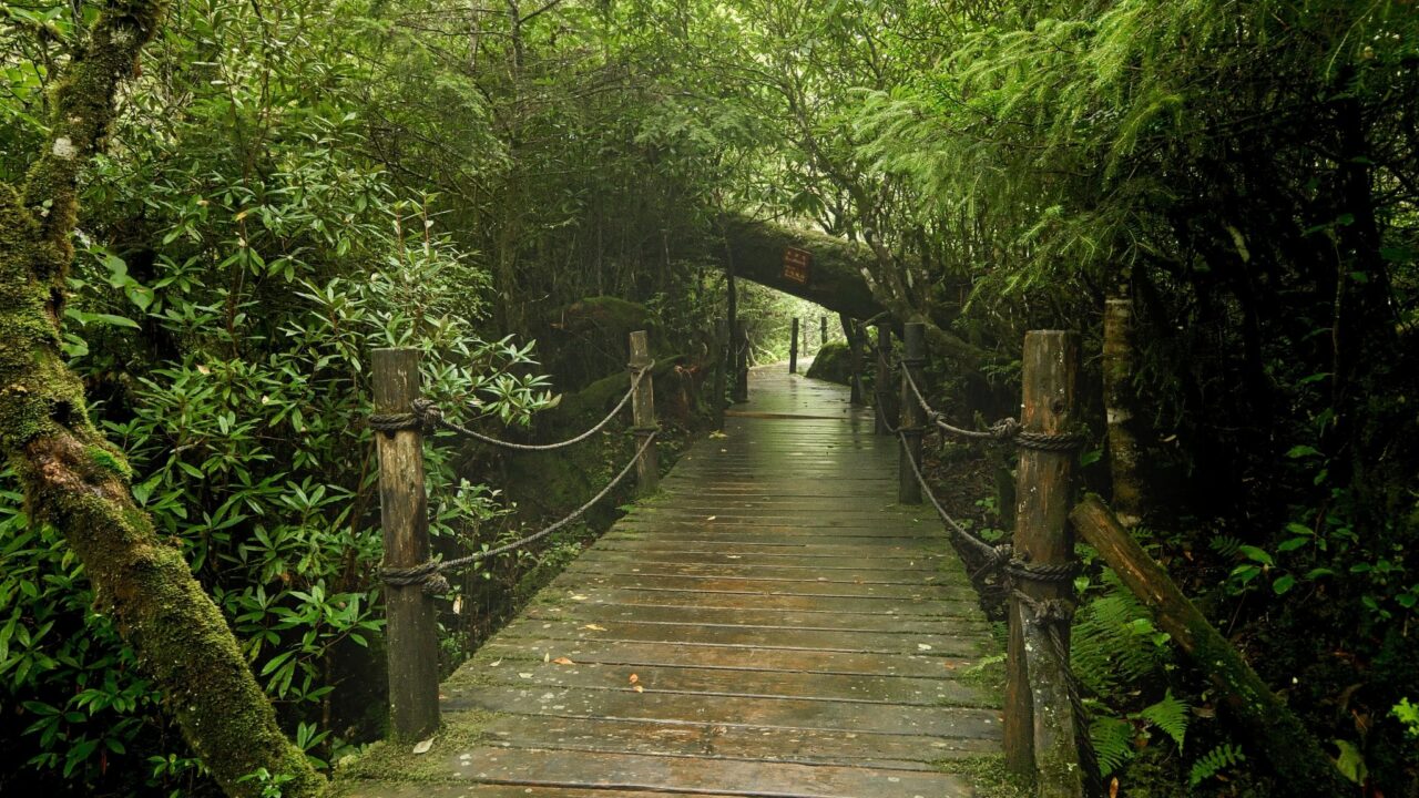
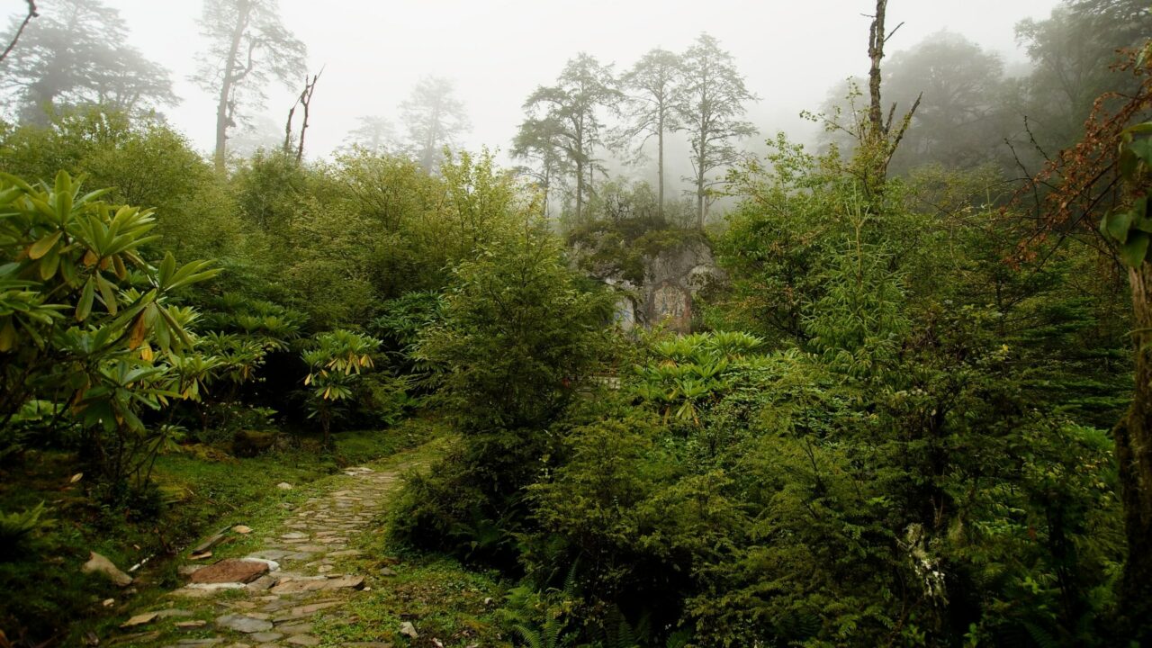
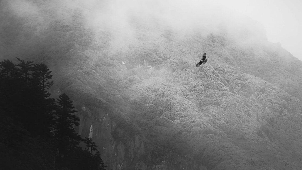
The entire circuit leads through a small jungle among azaleas and marshes. More than 400 species of wildlife live In the Hailuogou jungle, and 28 of them are rare animals under government protection.

In the Red Stone Valley area, there are also 24 endemic species of rhododendrons.
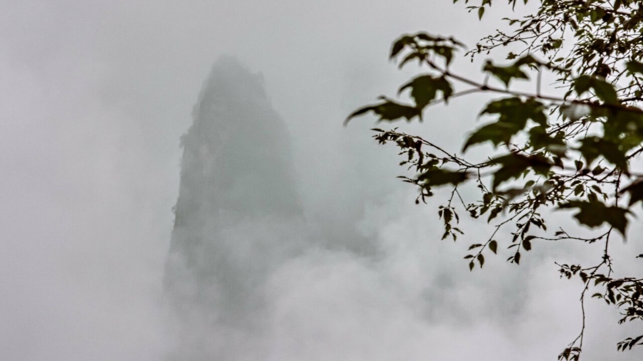
As I climb to the peaks playing peekaboo in the clouds, I feel like a part of amazing calligraphy where the mountains seem to float in the air.
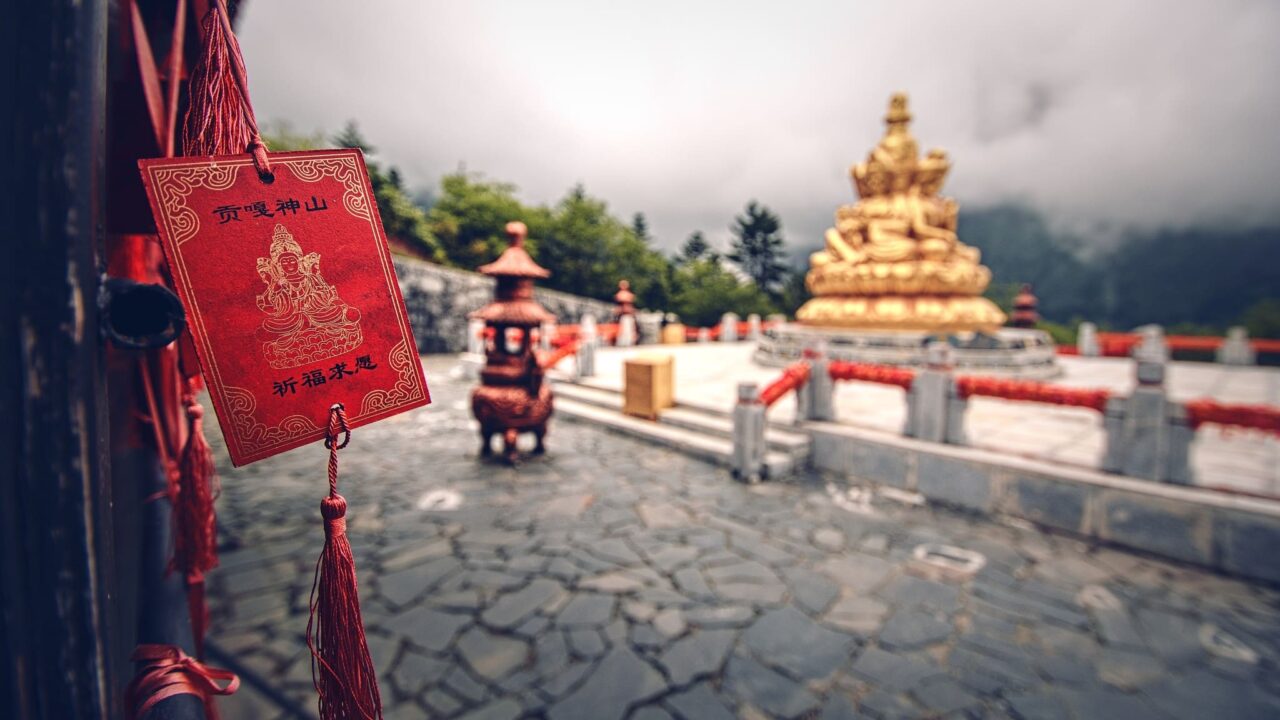
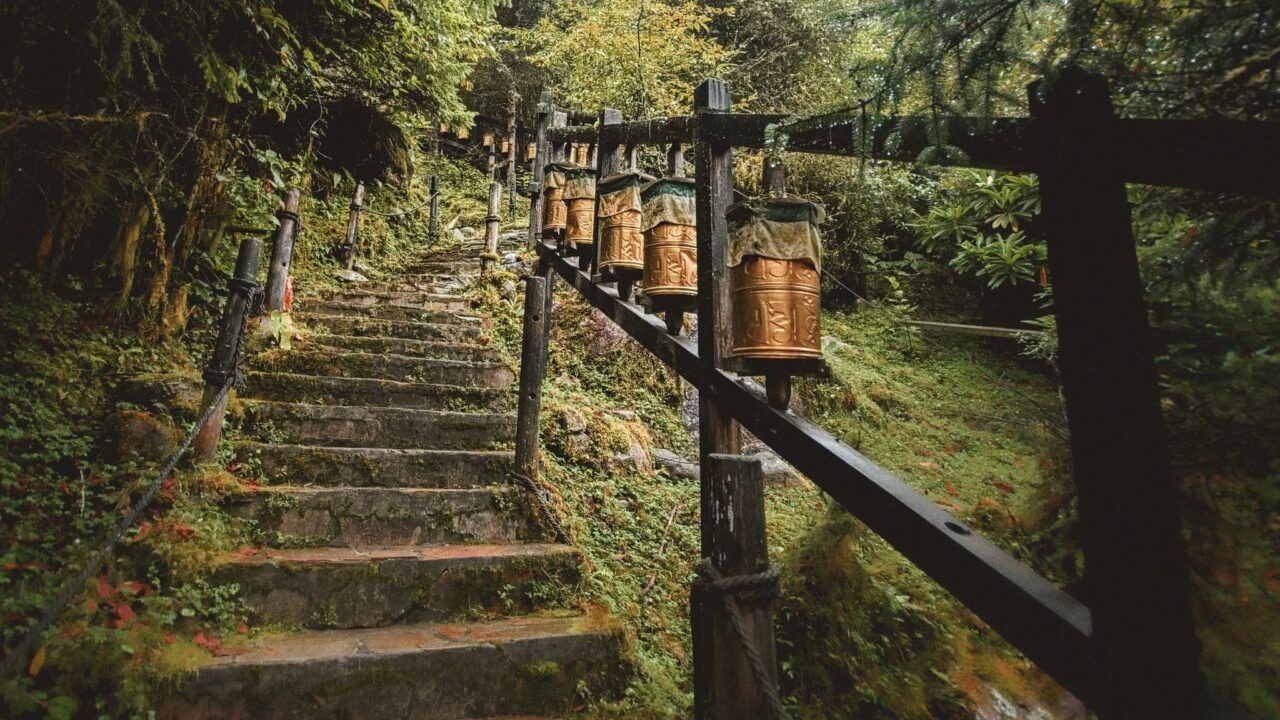
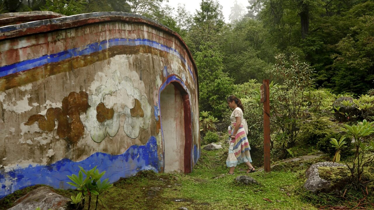
Along the staircase, you can see Tibetan prayer wheels on the railing. By turning them, you send the mantra “Om mani padme hum” (Praise to the jewel in the lotus).
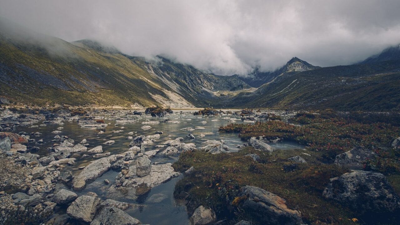
At the end of the trail, I met mushroom collectors who showed me a hole in the fence. Through it, I reached the stone riverbed filled with red stones. A breathtaking sight. I returned two hours later when the guides were already starting to search for me.
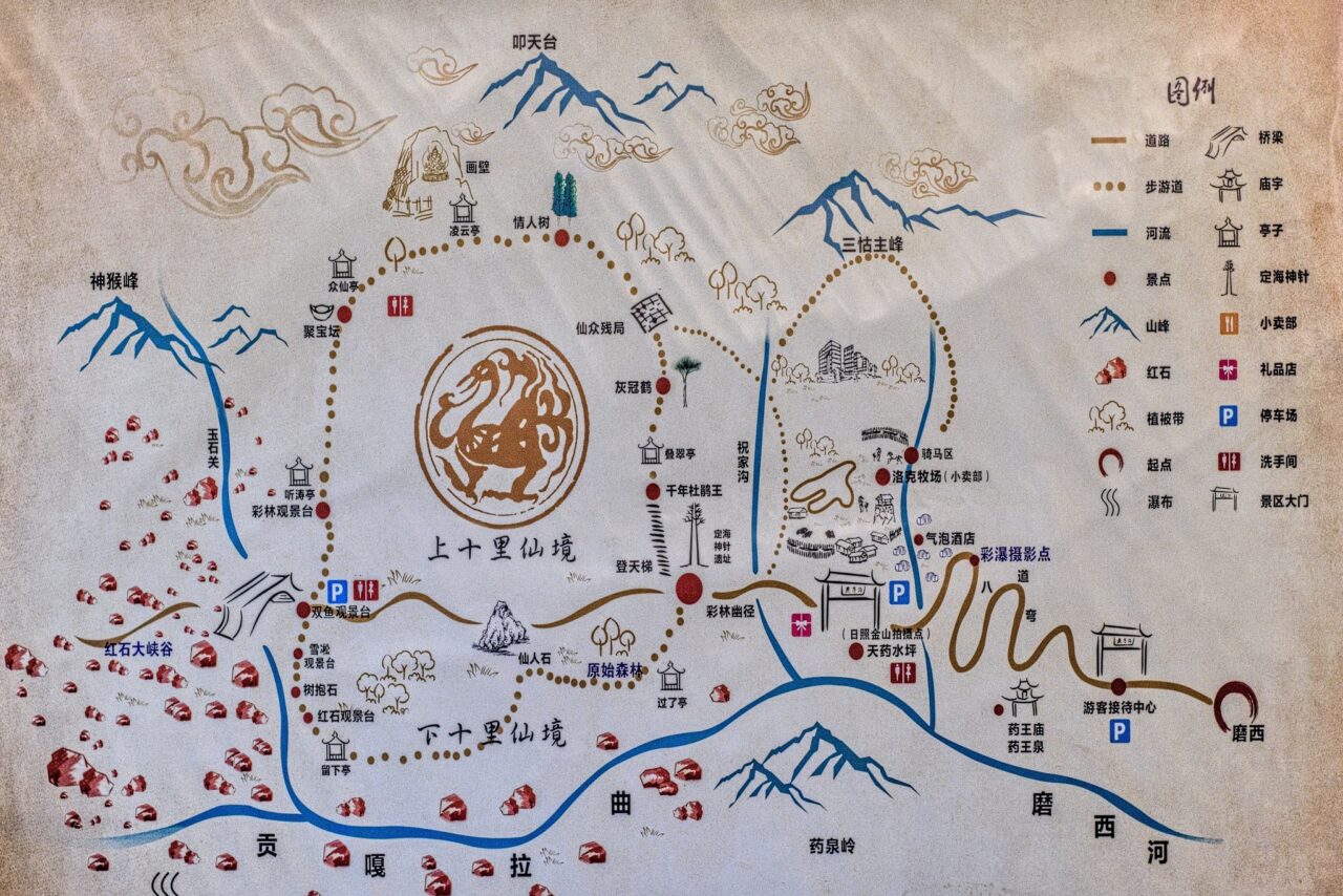
I got around the area using hand-drawn maps. Thanks to these, and a good sense of direction, I managed not to get lost. At that time, online maps did not have detailed maps like they do today.
Night in the mountains
The weather changed my original plan of climbing along the river to the mountain pass, so I accepted a ride to the top. I made plans with the hotel owner to meet the next day at 2 p.m. down by the lake. He didn’t quite understand what I would want to do there without a hotel, probably assuming I didn’t have the equipment to sleep outside.
I set off towards the campsite marked on the map. When a campsite is marked on the map, it makes sense to go there. I arrived at the campsite and burst into laughter. There was just a pile of rocks from a landslide and a pile of boulders.
Carefully, I snuck between the boulders and climbed to the opposite ridge to find the summit trail. I slowly headed towards the meeting point.
I climbed along the ridge along an old broken fence, which was my only landmark as the weather worsened. With clouds surrounding me, I set up a bivouac and went to sleep. Sometime around midnight, the cold woke me up. When I looked at the sky, there were red flashes all around me. A storm at an altitude of 4200m above sea level is something I really didn’t want to experience.
I decided to make an emergency descent by night. I managed to find my landmark on my first try— the fence along which I walked to the road. Down below, I found out that the flashes that scared me were from a mobile transmitter. It was funny because I didn’t remember walking around any transmitter.
It was already raining heavily, and there was no point in going back up. I continued along the road to a place twenty kilometers away where there was some shelter where I could hide until morning.
As I was crossing the tenth hairpin turn and my navigation told me I was almost there, a thought crossed my mind…

What if a car drove by right now, at 2 a.m., and stopped for me? I wouldn’t mind at all.
I laughed at my thought. That would be a very big coincidence in the middle of the wilderness, where a maximum of 20 cars pass during the day.
Lo and behold, I saw lights in the bend. Was I dreaming? No, it was really a car. I flashed my light and waved at it to make sure they saw me. It took a while for the driver to understand that I wanted a ride. He seemed surprised to meet a European in the middle of the night in the mountain wilderness who didn‘t speak a word of Chinese.
He offered me lodging and I tried to explain that I was staying in the next village. He said I was his guest and couldn’t be convinced otherwise. I reluctantly accepted his offer and it turned out he was the owner of an upscale hotel. After a week of sleeping on a wooden bunk with my feet hanging out, I spent the night in a luxurious bed.
At sunrise, I walked through the sleepy town, and back to the hotel. The owner was surprised to see me but was glad I was okay.
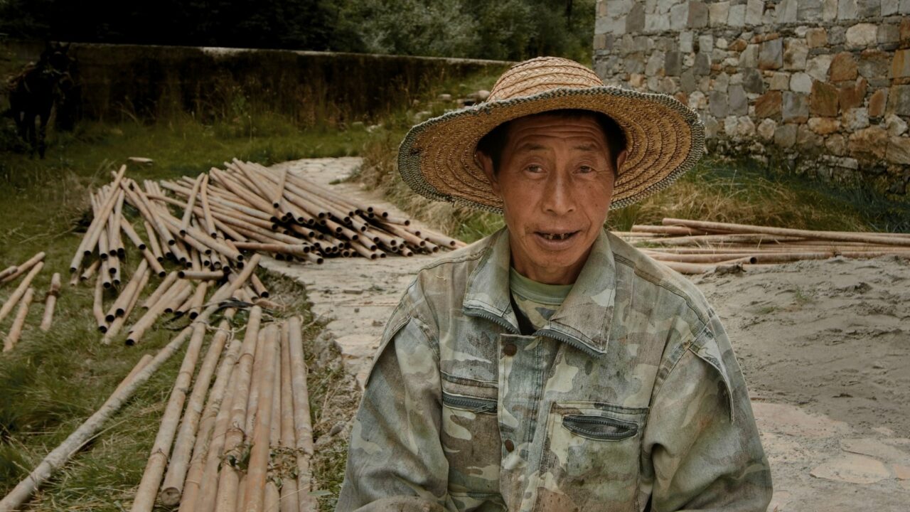
This story marks the end of my travel series through China. I must say that in the Tibetan lands, people smile more and are much friendlier and more open than in Central China. It was evident that fewer foreign travelers come to this area. Old grandmothers hid behind trees and watched me with uncertainty. The young people tried to converse with me using translation apps. It was a pleasant change.
Interested in what China was like, what to prepare for during the trip, and where to go? Read our travel photography series:
1. China: A Country of Many Faces
2. China: Beijing and the Great Wall of China
3. Xi’an, China—The Historic Capital, Terracotta Army, and Sacred Mount Huashan
4. China: Wudang, The Birthplace of Tai Chi
5. Pandas, Buddhas, and a Glass Bridge in China


There are no comments yet.